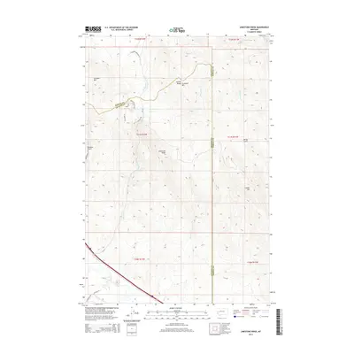
2014 Map of Limestone Ridge
USGS Topo · Published 2014About this map
Limestone Ridge rises as a central landmark in this high-elevation corner of Montana, where the Garnet Range dominates the skyline. The landscape is defined by its drainage systems, with Sheep Cr, Morris Cr, and Elk Swamp Cr carving paths through the mountain terrain. In the southwest corner, the Clark Fork river cuts across the topography, a vital waterway that has historically influenced travel and settlement patterns in the region.
Find a feature on this map
30 named features on this map. Tap any name to fly to it.
Don’t see what you’re looking for? This feature index may not catch every label — zoom into the map to look around manually.
Map Details
Editions of this 2014 Limestone Ridge Map
This is the sole edition of this map. No revisions or reprints were ever made.
Other maps of this area

1889 · Helena
USGS Topo · 1:250,000

1893 · Helena
USGS Topo · 1:250,000

1899 · Helena
USGS Topo · 1:250,000

1903 · Helena
USGS Topo · 1:250,000

1919 · Drummond
USGS Topo · 1:125,000

1921 · Drummond
USGS Topo · 1:125,000

1947 · Butte
USGS Topo · 1:250,000

1958 · Butte
USGS Topo · 1:250,000

1958 · Drummond
USGS Topo · 1:62,500

1958 · Garrison
USGS Topo · 1:62,500