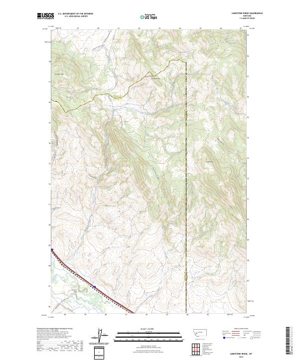
2024 Map of Limestone Ridge
USGS Topo · Published 2024About this map
Limestone Ridge and the Garnet Range dominate this landscape along the border of Powell and Granite Counties. The terrain is defined by a series of prominent peaks, including Sturgeon Mountain in the north and Saddle Mtn to the east, with deep drainages such as Edwards Gulch and Wisner Gulch cutting through the highlands. The northern portion of the map includes part of the Blackfoot Valley Conservation Area, reflecting contemporary land management patterns in this part of Montana.
Find a feature on this map
33 named features on this map. Tap any name to fly to it.
Don’t see what you’re looking for? This feature index may not catch every label — zoom into the map to look around manually.
Map Details
Editions of this 2024 Limestone Ridge Map
This is the sole edition of this map. No revisions or reprints were ever made.
Other maps of this area

1889 · Helena
USGS Topo · 1:250,000

1893 · Helena
USGS Topo · 1:250,000

1899 · Helena
USGS Topo · 1:250,000

1903 · Helena
USGS Topo · 1:250,000

1919 · Drummond
USGS Topo · 1:125,000

1921 · Drummond
USGS Topo · 1:125,000

1947 · Butte
USGS Topo · 1:250,000

1958 · Butte
USGS Topo · 1:250,000

1958 · Drummond
USGS Topo · 1:62,500

1958 · Garrison
USGS Topo · 1:62,500