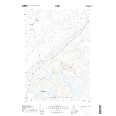
2018 Map of Lincoln Center
USGS Topo · Published 2018About this map
The Penobscot River dictates the settlement patterns of this central Maine landscape, where the Rte 2 corridor links several riverine communities. At Sebonibus Rapids, the waterway passes Hersey Island and Snow Island, marking a historically significant stretch of river navigation and power. The settlement at Lincoln Center serves as a focal point near the Cambolasse Stream Reservoir and Stump Pond, illustrating the importance of local water management for community development.
Find a feature on this map
58 named features on this map. Tap any name to fly to it.
Don’t see what you’re looking for? This feature index may not catch every label — zoom into the map to look around manually.
Map Details
Editions of this 2018 Lincoln Center Map
This is the sole edition of this map. No revisions or reprints were ever made.
Other maps of this area

1920 · Winn
USGS Topo · 1:62,500

1940 · Mattawamkeag
USGS Topo · 1:62,500

1942 · Lincoln
USGS Topo · 1:62,500

1942 · Mattawamkeag
USGS Topo · 1:62,500

1951 · Millinocket
USGS Topo · 1:62,500

1954 · Millinocket
USGS Topo · 1:250,000

1957 · Lincoln
USGS Topo · 1:62,500

1958 · Millinocket
USGS Topo · 1:250,000

1960 · Millinocket
USGS Topo · 1:250,000
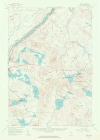
1960 · Winn
USGS Topo · 1:62,500