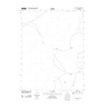
2011 Map of Lincoln Flat
USGS Topo · Published 2011About this map
Lincoln Flat and the surrounding high-desert terrain of Lyon County are depicted here in a period of modern geospatial documentation. The landscape is defined by the prominent Singatse Range and a series of strategic mountain gaps, including Gallagher Pass and Mason Pass, which have long served as vital corridors through the Nevada desert. These natural transit points are underscored by the primitive and local road network, where Gallagher Pass Rd and Wabuska Rd skirt the edges of the flat. The map highlights the intersection of topographic landmarks and sparse human infrastructure, with features like Wishart Hill and Blackrock anchoring the northern and southern reaches of the quadrangle. This 2011 survey records the region's enduring character as a sparsely populated crossroads, capturing the exact alignment of tracks such as Luzier Ln and Mason Pass Rd as they navigate the arid basin and range topography.
Find a feature on this map
10 named features on this map. Tap any name to fly to it.
Don’t see what you’re looking for? This feature index may not catch every label — zoom into the map to look around manually.
Map Details
Editions of this 2011 Lincoln Flat Map
This is the sole edition of this map. No revisions or reprints were ever made.
Other maps of this area

1891 · Wabuska
USGS Topo · 1:125,000

1891 · Wellington
USGS Topo · 1:125,000

1893 · Wellington
USGS Topo · 1:125,000

1894 · Wabuska
USGS Topo · 1:125,000

1948 · Walker Lake
USGS Topo · 1:250,000

1957 · Walker Lake
USGS Topo · 1:250,000

1957 · Wellington
USGS Topo · 1:62,500

1957 · Como
USGS Topo · 1:62,500

1957 · Wabuska
USGS Topo · 1:62,500

1957 · Yerington
USGS Topo · 1:62,500