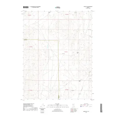
2018 Map of Lincoln Flat
USGS Topo · Published 2018About this map
The Singatse Range and the high desert basin of Lincoln Flat dominate this 2018 survey of the western Nevada interior. Situated along the border between Lyon and Douglas Counties, the landscape is defined by its dramatic topographic shifts, from the low-lying Mason Valley in the northeast to the significant elevations of Wishart Hill and Blackrock in the north. This is a region of sparse passage, where the primitive tracks of Mason Pass Rd and Luzier Ln follow the natural contours of the land, tracing the same corridors used for decades to navigate the gaps between mountains. The drainage of Churchill Canyon cuts through the northwest, while the key transitions of Mason Pass and Gallagher Pass provide the only practical routes through the steep terrain, illustrating the historical dependence of local travel on these narrow geologic openings.
Find a feature on this map
19 named features on this map. Tap any name to fly to it.
Don’t see what you’re looking for? This feature index may not catch every label — zoom into the map to look around manually.
Map Details
Editions of this 2018 Lincoln Flat Map
This is the sole edition of this map. No revisions or reprints were ever made.
Other maps of this area

1891 · Wabuska
USGS Topo · 1:125,000

1891 · Wellington
USGS Topo · 1:125,000

1893 · Wellington
USGS Topo · 1:125,000

1894 · Wabuska
USGS Topo · 1:125,000

1948 · Walker Lake
USGS Topo · 1:250,000

1957 · Walker Lake
USGS Topo · 1:250,000

1957 · Wellington
USGS Topo · 1:62,500

1957 · Como
USGS Topo · 1:62,500

1957 · Wabuska
USGS Topo · 1:62,500

1957 · Yerington
USGS Topo · 1:62,500