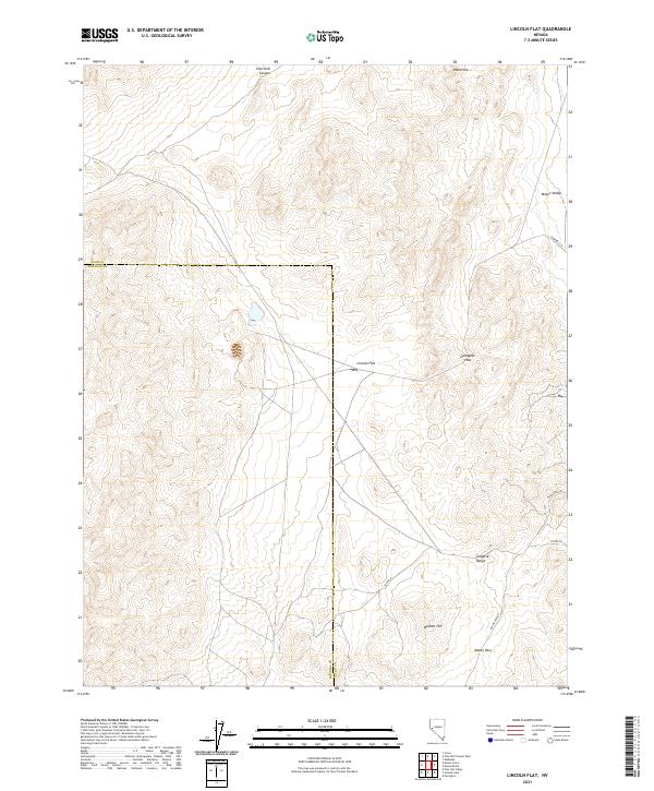
2021 Map of Lincoln Flat
USGS Topo · Published 2021About this map
Lincoln Flat and the northern reaches of the Singatse Range dominate this corner of the Nevada interior, where the desert basins meet the rocky uplands of Lyon and Douglas counties. The topography is defined by significant transit corridors through the high ground, notably Gallagher Pass and Mason Pass, which have long served as vital links between the productive agricultural lands of Mason Valley to the east and the surrounding canyon country.
Find a feature on this map
18 named features on this map. Tap any name to fly to it.
Don’t see what you’re looking for? This feature index may not catch every label — zoom into the map to look around manually.
Map Details
Editions of this 2021 Lincoln Flat Map
This is the sole edition of this map. No revisions or reprints were ever made.
Other maps of this area

1891 · Wabuska
USGS Topo · 1:125,000

1891 · Wellington
USGS Topo · 1:125,000

1893 · Wellington
USGS Topo · 1:125,000

1894 · Wabuska
USGS Topo · 1:125,000

1948 · Walker Lake
USGS Topo · 1:250,000

1957 · Walker Lake
USGS Topo · 1:250,000

1957 · Wellington
USGS Topo · 1:62,500

1957 · Como
USGS Topo · 1:62,500

1957 · Wabuska
USGS Topo · 1:62,500

1957 · Yerington
USGS Topo · 1:62,500