
1962 Map of Lincoln
USGS Topo · Published 1964About this map
Lincoln serves as the central hub of this early 1960s Kansas landscape, situated where the Saline River meets the meandering courses of Lost Creek and Tauger Creek. The town's significance as a transportation junction is evident in its dual rail service, featuring both the Union Pacific and the Atchison Topeka and Santa Fe railroads, which cross near the Lincoln Center Sta. The surrounding countryside, divided into the townships of Marion, Beaver, and Indiana, is marked by numerous quarries and gravel pits, reflecting the local extractive industry of the era.
Find a feature on this map
26 named features on this map. Tap any name to fly to it.
Don’t see what you’re looking for? This feature index may not catch every label — zoom into the map to look around manually.
Map Details
Editions of this 1962 Lincoln Map
This is the sole edition of this map. No revisions or reprints were ever made.
Other maps of this area

1894 · Ellsworth
USGS Topo · 1:125,000

1894 · Beloit
USGS Topo · 1:125,000

1955 · Great Bend
USGS Topo · 1:250,000

1955 · Beloit
USGS Topo · 1:250,000

1957 · Great Bend
USGS Topo · 1:250,000

1958 · Great Bend
USGS Topo · 1:250,000

1959 · Beloit
USGS Topo · 1:250,000

1962 · Vesper
USGS Topo · 1:24,000
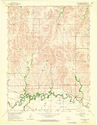
1963 · Shady Bend
USGS Topo · 1:24,000
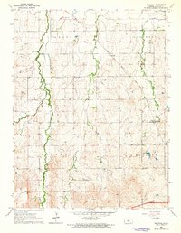
1963 · Westfall
USGS Topo · 1:24,000