
1942 Map of Lincoln
USGS Topo · Published 1942About this map
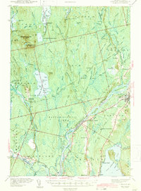
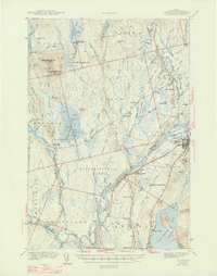
The Penobscot River forms the industrial and geographic spine of this Maine landscape as it appeared in the early 1940s. The river flows through several townships, including Mattamiscontis, Enfield, and Lincoln, where islands like Mattanawcook Island and Mahockanock Island are noted as part of the Penobscot Indian Reservation. Industrial infrastructure is evident at the West Enfield Dam and along the dual rail corridors of the Canadian Pacific and Maine Central railroads. These tracks serviced busy stops like Enfield Sta and South Lincoln Sta, connecting the timber and paper centers to wider markets.
Find a feature on this map
117 named features on this map. Tap any name to fly to it.
Don’t see what you’re looking for? This feature index may not catch every label — zoom into the map to look around manually.
Map Details
Editions of this 1942 Lincoln Map
3 editions found
Other maps of this area

1917 · Passadumkeag
USGS Topo · 1:62,500

1920 · Winn
USGS Topo · 1:62,500

1931 · Saponac
USGS Topo · 1:48,000

1933 · Boyd Lake
USGS Topo · 1:62,500

1934 · Saponac
USGS Topo · 1:62,500

1940 · Mattawamkeag
USGS Topo · 1:62,500

1942 · Mattawamkeag
USGS Topo · 1:62,500

1947 · Schoodic
USGS Topo · 1:62,500

1949 · Schoodic
USGS Topo · 1:62,500

1951 · Boyd Lake
USGS Topo · 1:50,000