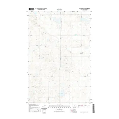
2014 Map of Lincoln Valley NW
USGS Topo · Published 2014About this map
The Sheyenne River winds through this portion of Sheridan County, carving a subtle path through a landscape defined by prairie potholes and glacial depressions. This 2014 survey captures the rural character of the region, where the terrain is dotted with significant water bodies like Krueger Lake, Skogmo Lake, and Bentz Lake. The organization of the land follows a strict section-line grid, typical of the Great Plains, marked by a network of local roads including CR-4211 and various numbered avenues and streets.
Find a feature on this map
23 named features on this map. Tap any name to fly to it.
Don’t see what you’re looking for? This feature index may not catch every label — zoom into the map to look around manually.
Map Details
Editions of this 2014 Lincoln Valley NW Map
This is the sole edition of this map. No revisions or reprints were ever made.
Other maps of this area

1929 · Balfour
USGS Topo · 1:62,500

1930 · Drake
USGS Topo · 1:62,500

1945 · Pelican Lake
USGS Topo · 1:62,500

1947 · Pelican Lake
USGS Topo · 1:62,500

1947 · Lincoln Valley
USGS Topo · 1:62,500

1954 · McClusky
USGS Topo · 1:250,000

1958 · McClusky
USGS Topo · 1:250,000

1958 · Drake
USGS Topo · 1:62,500

1958 · Balfour
USGS Topo · 1:62,500
1958 · Drake SW
USGS Topo · 1:24,000