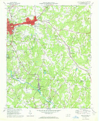
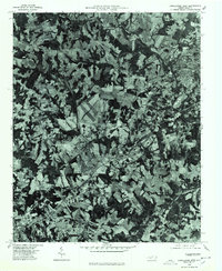
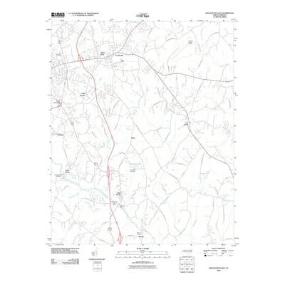
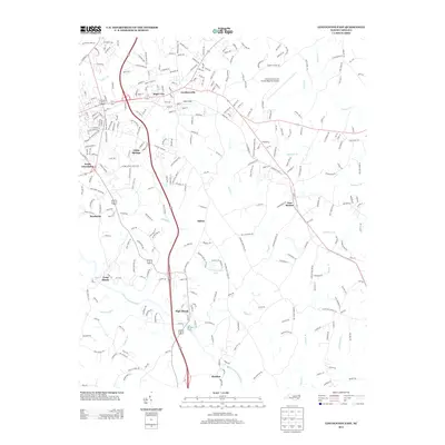
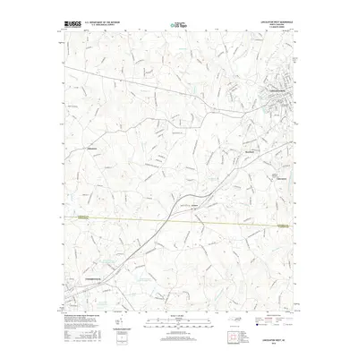
1970 Map of Lincolnton East
USGS Topo · Published 1972About this map
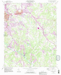
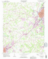
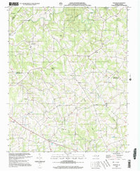
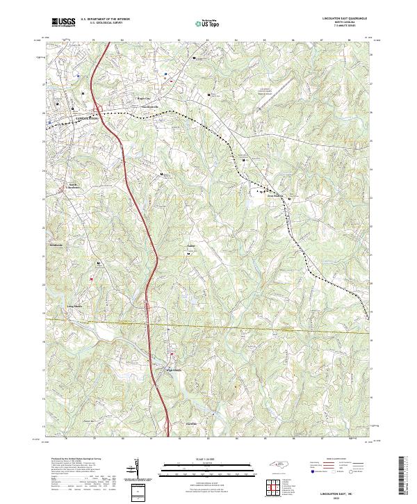
Lincolnton and the industrial corridor of the Seaboard Coast Line define the northern landscape of this North Carolina survey. The urban core extends eastward into Boger City, where residential growth surrounds the County Hospital and Central Jr High Sch. Southward, the terrain transitions into a patchwork of rural homesteads and numerous country churches, such as Mt Vernon Ch and Sharon Cem Ch, which anchored the area's agricultural communities.
Find a feature on this map
55 named features on this map. Tap any name to fly to it.
Don’t see what you’re looking for? This feature index may not catch every label — zoom into the map to look around manually.
Map Details
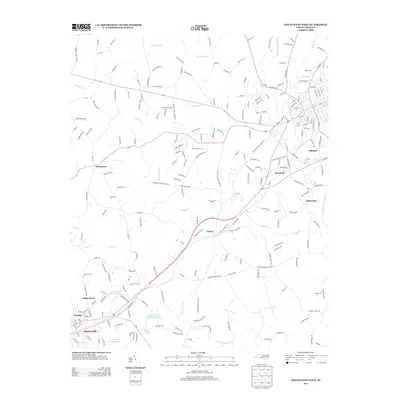
Editions of this 1970 Lincolnton East Map
2 editions found
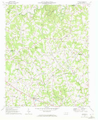
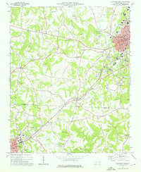
Historical Maps of Lincolnton Through Time
22 maps found
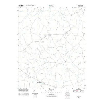
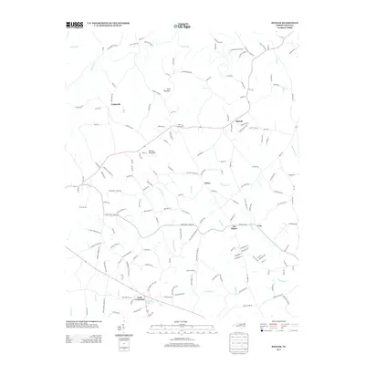
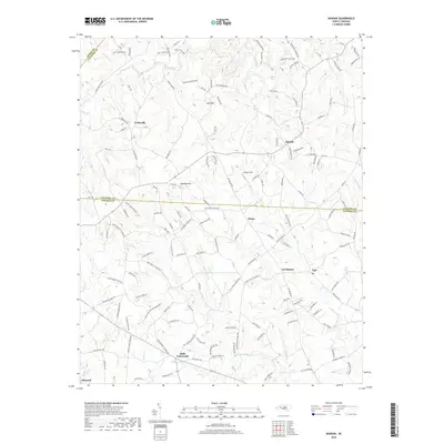
1970 Banoak
Lincoln County, NC
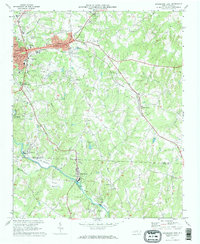
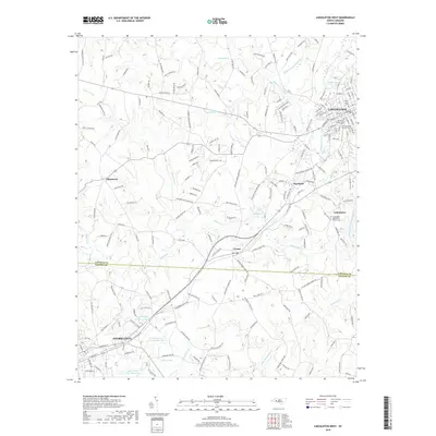
1970 Lincolnton East
Lincoln County, NC
1973 Lincolnton West
Lincoln County, NC
1976 Lincolnton West
Lincoln County, NC
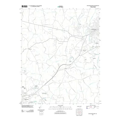
1993 Lincolnton East
Lincoln County, NC
1993 Lincolnton West
Lincoln County, NC
2002 Banoak
Lincoln County, NC
2010 Banoak
Lincoln County, NC
2010 Lincolnton East
Lincoln County, NC
2010 Lincolnton West
Lincoln County, NC
2013 Banoak
Lincoln County, NC
2013 Lincolnton East
Lincoln County, NC
2013 Lincolnton West
Lincoln County, NC
2016 Banoak
Lincoln County, NC
2016 Lincolnton East
Lincoln County, NC
2016 Lincolnton West
Lincoln County, NC
2019 Banoak
Lincoln County, NC
2019 Lincolnton East
Lincoln County, NC
2019 Lincolnton West
Lincoln County, NC
2022 Banoak
Lincoln County, NC
2022 Lincolnton East
Lincoln County, NC
2022 Lincolnton West
Lincoln County, NC