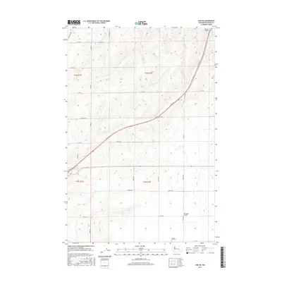
2017 Map of Lind SW
USGS Topo · Published 2017About this map
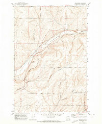
Michigan Prairie characterizes the landscape of this portion of Adams County, where the high-plateau terrain is defined by a dense grid of farm-to-market roads and the prominent seasonal drainage of Hatton Coulee. In the southern reaches of the quadrangle, the Michigan Prairie Cem serves as a significant local landmark for genealogists and researchers of the region's agricultural heritage. The map documents the intricate transportation network necessary for this dryland farming community, anchored by routes like Lind-Hatton Rd, Neilson Rd, and Foulkes Rd. The surveyor's grid is meticulously maintained here, with township and range lines such as t16n r33e and t15n r33e overlaying a topography of gentle draws and rises that have shaped land ownership and use for generations.
Find a feature on this map
26 named features on this map. Tap any name to fly to it.
Don’t see what you’re looking for? This feature index may not catch every label — zoom into the map to look around manually.
Map Details
Editions of this 2017 Lind SW Map
This is the sole edition of this map. No revisions or reprints were ever made.
Other maps of this area

1916 · Connell
USGS Topo · 1:125,000

1918 · Connell
USGS Topo · 1:125,000

1953 · Walla Walla
USGS Topo · 1:250,000

1958 · Walla Walla
USGS Topo · 1:250,000

1970 · Lind SE
USGS Topo · 1:24,000

1970 · Lind SW
USGS Topo · 1:24,000
1970 · Lind
USGS Topo · 1:24,000
1970 · Roxboro
USGS Topo · 1:24,000
1970 · Kahlotus
USGS Topo · 1:24,000
1970 · Providence
USGS Topo · 1:24,000