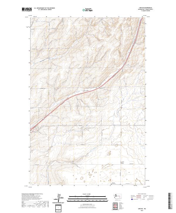
2023 Map of Lind SW
USGS Topo · Published 2023About this map
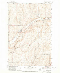
Michigan Prairie dominates the southern landscape of this Adams County township, characterized by the winding paths of Cunningham Coulee and Hatton Coulee. This agricultural corridor is defined by a dense network of sectional roads, many bearing the names of local families such as Hoefel Rd, Lauer Rd, and Foulkes Rd. The presence of the Michigan Prairie Cem near the southern boundary provides a vital anchor for genealogical research in this rural expanse. The topographic data reveals the subtle drainage patterns and land-use divisions across Sections 15 and 16, where Neilson Rd and Lind-Hatton Rd intersect the coulees. This map serves as a contemporary record of long-established land boundaries and rural infrastructure, tracing the persistent homesteading patterns of the central Washington plateau.
Find a feature on this map
27 named features on this map. Tap any name to fly to it.
Don’t see what you’re looking for? This feature index may not catch every label — zoom into the map to look around manually.
Map Details
Editions of this 2023 Lind SW Map
This is the sole edition of this map. No revisions or reprints were ever made.
Other maps of this area

1916 · Connell
USGS Topo · 1:125,000

1918 · Connell
USGS Topo · 1:125,000

1953 · Walla Walla
USGS Topo · 1:250,000

1958 · Walla Walla
USGS Topo · 1:250,000

1970 · Lind SE
USGS Topo · 1:24,000

1970 · Lind SW
USGS Topo · 1:24,000
1970 · Lind
USGS Topo · 1:24,000
1970 · Roxboro
USGS Topo · 1:24,000
1970 · Kahlotus
USGS Topo · 1:24,000
1970 · Providence
USGS Topo · 1:24,000