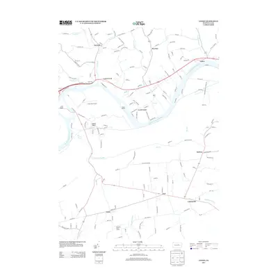
2013 Map of Linden
USGS Topo · Published 2013About this map
The West Br Susquehanna River carves a winding path through Lycoming County, creating a landscape of river islands and fertile valley settlements. Large landmasses like Crane Island and Long Island sit within the channel, while the surrounding area is anchored by the community of Linden to the northeast and Antes Fort to the west. The local topography is defined by numerous drainage runs, including Larrys Creek, Pine Run, and Big Run, which flow toward the main river branch.
Find a feature on this map
152 named features on this map. Tap any name to fly to it.
Don’t see what you’re looking for? This feature index may not catch every label — zoom into the map to look around manually.
Map Details
Editions of this 2013 Linden Map
This is the sole edition of this map. No revisions or reprints were ever made.
Other maps of this area

1921 · Williamsport
USGS Topo · 1:48,000

1921 · Trout Run
USGS Topo · 1:62,500

1921 · Lock Haven
USGS Topo · 1:62,500

1923 · Lock Haven
USGS Topo · 1:62,500

1923 · Trout Run
USGS Topo · 1:62,500

1923 · Williamsport
USGS Topo · 1:62,500

1935 · Waterville
USGS Topo · 1:24,000

1937 · Waterville
USGS Topo · 1:48,000

1943 · Waterville
USGS Topo · 1:62,500

1944 · Trout Run
USGS Topo · 1:62,500
Featured Places
- Bastress Township, PA
- Woodward Township, PA
- Susquehanna Township, PA
- Mifflin Township, PA
- Pine Run, Woodward Township