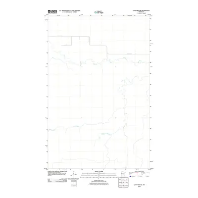
2010 Map of Lindford NW
USGS Topo · Published 2010About this map
Black River meanders across the northern half of this northern Minnesota landscape, defining the character of a terrain shaped by water and low relief. The hydrology is remarkably intricate, showing the fine network of tributaries and wet grounds that feed into the main river channel as it flows through Koochiching County. Human presence is sparse and concentrated along a few transport corridors, primarily Black River Rd and the local route Ut 348. These roads follow the higher ground, providing the only structured access through a region dominated by its natural drainage patterns. The lack of named settlements or schools on the sheet reflects the quiet, rural nature of this pocket of the state during the early twenty-first century.
Find a feature on this map
3 named features on this map. Tap any name to fly to it.
Don’t see what you’re looking for? This feature index may not catch every label — zoom into the map to look around manually.
Map Details
Editions of this 2010 Lindford NW Map
This is the sole edition of this map. No revisions or reprints were ever made.
Other maps of this area

1919 · Birchdale
USGS Topo · 1:62,500

1919 · I
USGS Topo · 1:62,500

1943 · Lindford
USGS Topo · 1:62,500

1954 · Roseau
USGS Topo · 1:250,000

1954 · International Falls
USGS Topo · 1:250,000

1957 · Roseau
USGS Topo · 1:250,000

1957 · International Falls
USGS Topo · 1:250,000

1958 · International Falls
USGS Topo · 1:250,000

1958 · Roseau
USGS Topo · 1:250,000

1968 · Birchdale SE
USGS Topo · 1:24,000