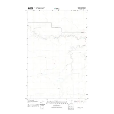
2013 Map of Lindford NW
USGS Topo · Published 2013About this map
The meandering course of the Black River defines this portion of Koochiching County, cutting through the low-lying northern Minnesota terrain with numerous tight oxbows and river bends. The 2013 survey illustrates a landscape largely shaped by its hydrology, where local infrastructure is minimal and tied closely to the waterway. Black River Rd follows the river's path across the northern half of the sheet, providing the primary access point to this remote stretch of forest and wetland. Local connectors such as Ut 349 and Ut 100 branch off the main road, though the area remains sparsely developed, preserving the natural drainage patterns and topographical character of the Big Fork River valley outskirts.
Find a feature on this map
4 named features on this map. Tap any name to fly to it.
Don’t see what you’re looking for? This feature index may not catch every label — zoom into the map to look around manually.
Map Details
Editions of this 2013 Lindford NW Map
This is the sole edition of this map. No revisions or reprints were ever made.
Other maps of this area

1919 · Birchdale
USGS Topo · 1:62,500

1919 · I
USGS Topo · 1:62,500

1943 · Lindford
USGS Topo · 1:62,500

1954 · Roseau
USGS Topo · 1:250,000

1954 · International Falls
USGS Topo · 1:250,000

1957 · Roseau
USGS Topo · 1:250,000

1957 · International Falls
USGS Topo · 1:250,000

1958 · International Falls
USGS Topo · 1:250,000

1958 · Roseau
USGS Topo · 1:250,000

1968 · Birchdale SE
USGS Topo · 1:24,000