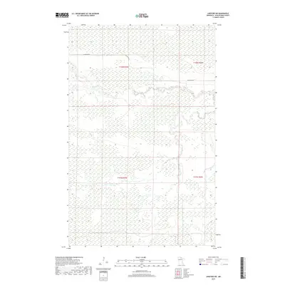
2019 Map of Lindford NW
USGS Topo · Published 2019About this map
The Black River meanders through this remote portion of Koochiching County, defining the drainage patterns across a largely undeveloped wetland landscape. This modern survey reflects the vast, low-lying character of northern Minnesota, where narrow corridors of higher ground are often marked only by a single artery like Black River Rd. The terrain is divided by the Public Land Survey System into townships including t158n r26w and t157n r25w, revealing the rectilinear structure imposed on this wilderness. While the map is sparse in terms of permanent settlements, it provides a precise record of the river's winding course and the subtle elevation changes that dictate the environment of the North Woods.
Find a feature on this map
6 named features on this map. Tap any name to fly to it.
Don’t see what you’re looking for? This feature index may not catch every label — zoom into the map to look around manually.
Map Details
Editions of this 2019 Lindford NW Map
This is the sole edition of this map. No revisions or reprints were ever made.
Other maps of this area

1919 · Birchdale
USGS Topo · 1:62,500

1919 · I
USGS Topo · 1:62,500

1943 · Lindford
USGS Topo · 1:62,500

1954 · Roseau
USGS Topo · 1:250,000

1954 · International Falls
USGS Topo · 1:250,000

1957 · Roseau
USGS Topo · 1:250,000

1957 · International Falls
USGS Topo · 1:250,000

1958 · International Falls
USGS Topo · 1:250,000

1958 · Roseau
USGS Topo · 1:250,000

1968 · Birchdale SE
USGS Topo · 1:24,000