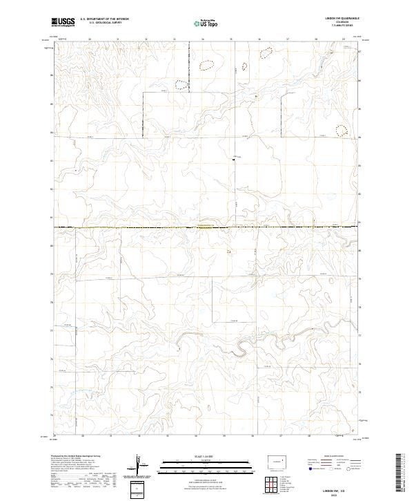
2022 Map of Lindon SW
USGS Topo · Published 2022About this map
The Washington County and Lincoln County border cuts directly through this section of the High Plains, where the terrain is defined by the winding course of the North Fork Arikaree River in the south and Gordon Cr to the north. This is a region of vast agricultural sections and gravel section-line roads, such as Co Rd R and Co Rd 35, that grid the landscape. The lone institutional landmark of the area is Glen Cem, situated along a northern tributary. The mapping reveals the sparse, rural nature of the Colorado plains, where long stretches of road like Co Hwy 109 provide the primary connections between isolated ranching or farming outposts across the prairie.
Find a feature on this map
21 named features on this map. Tap any name to fly to it.
Don’t see what you’re looking for? This feature index may not catch every label — zoom into the map to look around manually.
Map Details
Editions of this 2022 Lindon SW Map
This is the sole edition of this map. No revisions or reprints were ever made.
Other maps of this area

1891 · Limon
USGS Topo · 1:125,000

1892 · Limon
USGS Topo · 1:125,000

1954 · Limon
USGS Topo · 1:250,000

1957 · Limon
USGS Topo · 1:250,000

1958 · Limon
USGS Topo · 1:250,000

1973 · Lindon NE
USGS Topo · 1:24,000

1973 · Lusto Springs
USGS Topo · 1:24,000

1973 · Lindon SW
USGS Topo · 1:24,000

1973 · Lindon
USGS Topo · 1:24,000

1973 · Last Chance
USGS Topo · 1:24,000