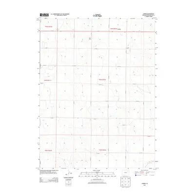
2013 Map of Lindon
USGS Topo · Published 2013About this map
Lindon sits at the intersection of high plains agriculture and early 21st-century infrastructure, centered on the corridor of Us-36 E. This portion of Washington County is defined by its expansive drainage networks, including the seasonal pathways of Sand Creek and Gordon Creek, which carve into the terrain south of the settlement. The map reveals the precise layout of the rural grid, where county roads such as Co Road S and Co Road 10 organize the landscape into large sections. Local history is anchored at the Lindon Cem, situated just east of the main town area. The topography is marked by notable depressions and ephemeral watercourses like Dry Gulch and Vega Creek, illustrating the hydraulic patterns of this arid landscape before they reach larger basins.
Find a feature on this map
28 named features on this map. Tap any name to fly to it.
Don’t see what you’re looking for? This feature index may not catch every label — zoom into the map to look around manually.
Map Details
Editions of this 2013 Lindon Map
This is the sole edition of this map. No revisions or reprints were ever made.
Other maps of this area

1954 · Limon
USGS Topo · 1:250,000

1957 · Limon
USGS Topo · 1:250,000

1958 · Limon
USGS Topo · 1:250,000

1973 · Dry Gulch
USGS Topo · 1:24,000

1973 · Lindon NE
USGS Topo · 1:24,000

1973 · Lusto Springs
USGS Topo · 1:24,000

1973 · Antelope Creek SE
USGS Topo · 1:24,000

1973 · Lindon SW
USGS Topo · 1:24,000

1973 · Lindon
USGS Topo · 1:24,000

1973 · Last Chance
USGS Topo · 1:24,000