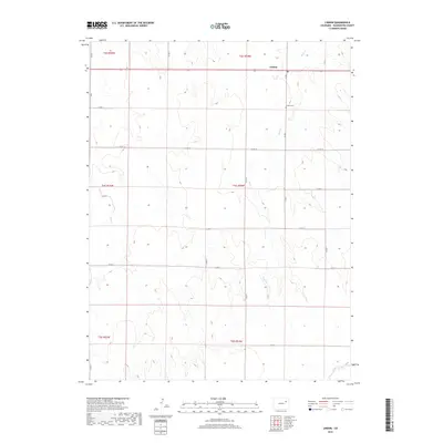
2019 Map of Lindon
USGS Topo · Published 2019About this map
Lindon sits at a crossroads in the High Plains of eastern Colorado, where the grid-like organization of the Public Land Survey System defines the landscape. This 2019 survey illustrates the sparse, agricultural nature of Washington County, dominated by vast sections and a systematic network of county roads such as Co RD S and Co RD 10. The ephemeral drainage of Sand Cr and its tributaries like Gordon Creek and Vega Cr carve subtle variations into the terrain, illustrating the hydrologic patterns of this semi-arid region. For those researching family history, the Lindon Cem serves as a critical landmark for the local community. The map provides a clear look at modern land division, showing how townships like t4s r54w are partitioned into the standard 36-section blocks that have dictated Colorado's settlement patterns for over a century.
Find a feature on this map
23 named features on this map. Tap any name to fly to it.
Don’t see what you’re looking for? This feature index may not catch every label — zoom into the map to look around manually.
Map Details
Editions of this 2019 Lindon Map
This is the sole edition of this map. No revisions or reprints were ever made.
Other maps of this area

1954 · Limon
USGS Topo · 1:250,000

1957 · Limon
USGS Topo · 1:250,000

1958 · Limon
USGS Topo · 1:250,000

1973 · Dry Gulch
USGS Topo · 1:24,000

1973 · Lindon NE
USGS Topo · 1:24,000

1973 · Lusto Springs
USGS Topo · 1:24,000

1973 · Antelope Creek SE
USGS Topo · 1:24,000

1973 · Lindon SW
USGS Topo · 1:24,000

1973 · Lindon
USGS Topo · 1:24,000

1973 · Last Chance
USGS Topo · 1:24,000