2022 Map of Lindsborg
USGS Topo · Published 2022About this map
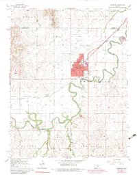
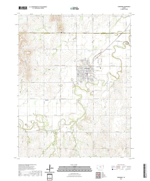
Lindsborg serves as the cultural and educational anchor for this portion of the Smoky Hill River valley, where the campus of Bethany College stands as a focal point of the town's layout. The surrounding landscape is defined by the winding course of the river and its tributaries, including Dry Cr and Indian Cr, which carve through the plains. To the north, the Smoky Hill Buttes rise above the agricultural grid, providing a distinct topographical break in an area otherwise dominated by section-line roads and wide-open fields.
Find a feature on this map
71 named features on this map. Tap any name to fly to it.
Don’t see what you’re looking for? This feature index may not catch every label — zoom into the map to look around manually.
Map Details
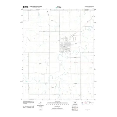
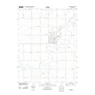
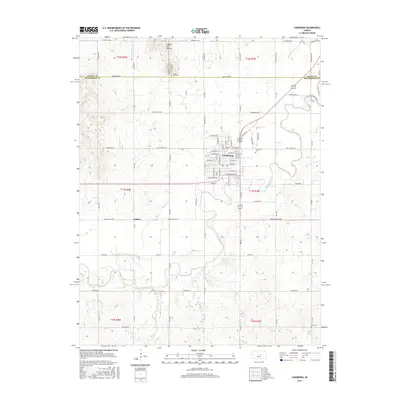
Editions of this 2022 Lindsborg Map
This is the sole edition of this map. No revisions or reprints were ever made.
Historical Maps of Lindsborg Through Time
6 maps found