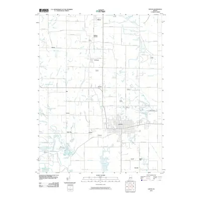
2010 Map of Linton
USGS Topo · Published 2010About this map
Linton serves as the primary hub of this Greene County landscape, where a dense grid of streets meets the surrounding rural terrain. The area is notable for its concentration of family and community burial grounds, including the Old Linton Cemetery, German Cemetery, and Island City Cemetery, which provide significant points of interest for genealogical research. A particularly distinctive landmark is the Historical Marker USA Center of Population, noting a specific geographical milestone for the nation within this Indiana township.
Find a feature on this map
65 named features on this map. Tap any name to fly to it.
Don’t see what you’re looking for? This feature index may not catch every label — zoom into the map to look around manually.
Map Details
Editions of this 2010 Linton Map
This is the sole edition of this map. No revisions or reprints were ever made.
Other maps of this area

1938 · Coal City
USGS Topo · 1:24,000

1938 · Switz City
USGS Topo · 1:24,000

1940 · Linton
USGS Topo · 1:24,000

1940 · Jasonville
USGS Topo · 1:24,000

1943 · Lyons
USGS Topo · 1:24,000

1943 · Hymera
USGS Topo · 1:24,000

1943 · Sandborn
USGS Topo · 1:24,000

1943 · Dugger
USGS Topo · 1:24,000

1944 · Bucktown
USGS Topo · 1:24,000

1947 · Switz City
USGS Topo · 1:24,000