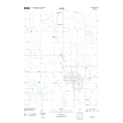
2013 Map of Linton
USGS Topo · Published 2013About this map
The city of Linton serves as the primary hub of this Greene County landscape, where an intricate grid of streets like Vincennes St E and A St SE contrasts with the surrounding industrial and agricultural terrain. The region's history with the extraction industry is clearly visible through infrastructure such as the Peabody Coal Haul Rd and the Old Coal Haul Rd, which traverse the countryside north of the city. These specialized routes, along with numerous unnamed reservoirs and ponds like Sunflower Pond and Boy Scout Pond, suggest a landscape significantly shaped by surface mining and water management.
Find a feature on this map
99 named features on this map. Tap any name to fly to it.
Don’t see what you’re looking for? This feature index may not catch every label — zoom into the map to look around manually.
Map Details
Editions of this 2013 Linton Map
This is the sole edition of this map. No revisions or reprints were ever made.
Other maps of this area

1938 · Coal City
USGS Topo · 1:24,000

1938 · Switz City
USGS Topo · 1:24,000

1940 · Linton
USGS Topo · 1:24,000

1940 · Jasonville
USGS Topo · 1:24,000

1943 · Lyons
USGS Topo · 1:24,000

1943 · Hymera
USGS Topo · 1:24,000

1943 · Sandborn
USGS Topo · 1:24,000

1943 · Dugger
USGS Topo · 1:24,000

1944 · Bucktown
USGS Topo · 1:24,000

1947 · Switz City
USGS Topo · 1:24,000