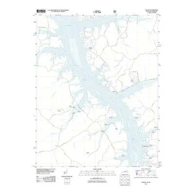
2011 Map of Linton
USGS Topo · Published 2011About this map
Lake Barkley dominates this landscape, its waters having transformed the Cumberland River valley into a complex network of bays and inlets along the Kentucky-Tennessee border. Small settlements like Linton and Tobaccoport remain as quiet outposts on the eastern shore, while Model sits to the west. The map is particularly notable for its dense concentration of family burial grounds, reflecting the deep ancestral roots of Trigg County. Scattered across the wooded terrain are the Jimerson Cemetery, Pleasant Hill Cemetery, Outland Cemetery, and Cherry Cemetery, among many others. To the west of the main channel, Fox Ridge and various hollows like Williams Hollow break up the land between numerous creek branches such as Pryor Creek and Crockett Creek, illustrating the topography that once defined this riverine community before the reservoir was filled.
Find a feature on this map
63 named features on this map. Tap any name to fly to it.
Don’t see what you’re looking for? This feature index may not catch every label — zoom into the map to look around manually.
Map Details
Editions of this 2011 Linton Map
This is the sole edition of this map. No revisions or reprints were ever made.
Other maps of this area

1936 · Tharpe
USGS Topo · 1:24,000

1936 · Hamlin
USGS Topo · 1:24,000

1936 · Fenton
USGS Topo · 1:24,000

1936 · Golden Pond
USGS Topo · 1:48,000

1936 · Rushing
USGS Topo · 1:24,000

1950 · Rushing Creek
USGS Topo · 1:24,000
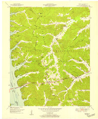
1950 · Fenton
USGS Topo · 1:24,000
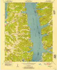
1950 · Hamlin
USGS Topo · 1:24,000

1951 · Model
USGS Topo · 1:24,000

1951 · Johnson Hollow
USGS Topo · 1:24,000