
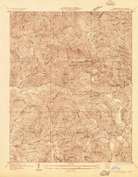
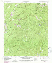
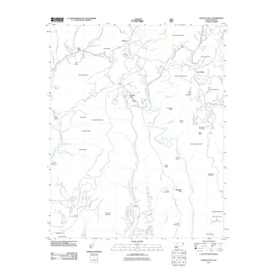
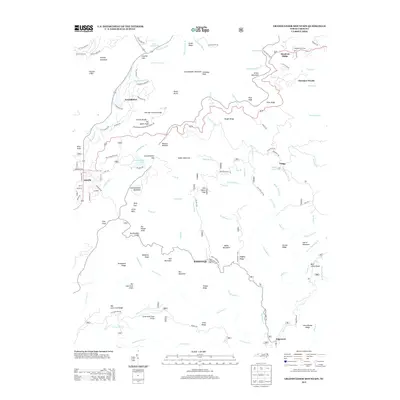
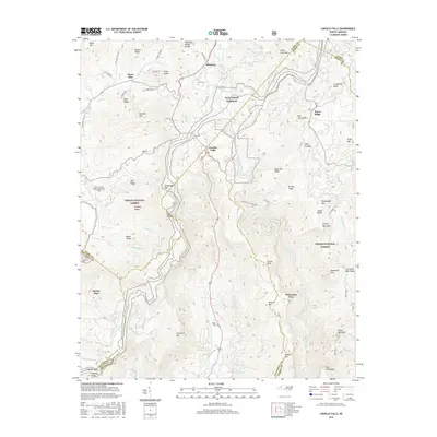
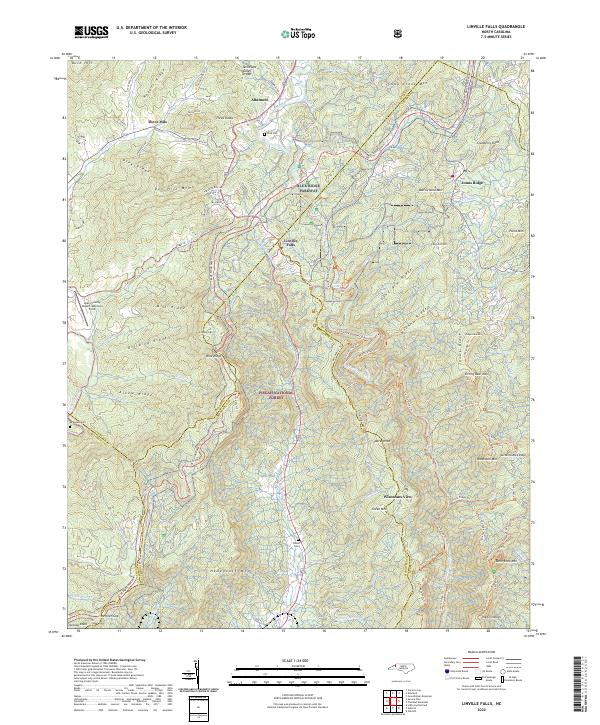
1934 Map of Linville Falls
USGS Topo · Published 1934About this map
Hemphill Mine and the winding course of the North Toe River anchor this 1934 topographic study of the Blue Ridge landscape. The terrain is marked by a series of local congregations and educational centers that served the rural Avery County population, including Walnut Grove Ch, Pisgah Ch, and Mullins Hill Sch. The mapping reflects a period of infrastructure development where traditional mountain paths like the Railroad Trail existed alongside the emerging Appalachian Highway and State Hy No 194.
Find a feature on this map
42 named features on this map. Tap any name to fly to it.
Don’t see what you’re looking for? This feature index may not catch every label — zoom into the map to look around manually.
Map Details
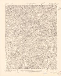
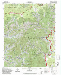
Editions of this 1934 Linville Falls Map
This is the sole edition of this map. No revisions or reprints were ever made.
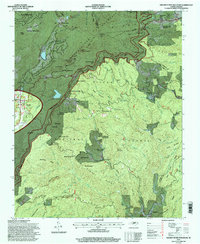
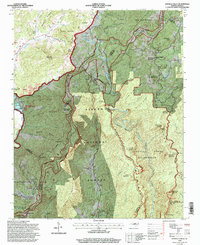
Historical Maps of Spruce Pine Through Time
25 maps found
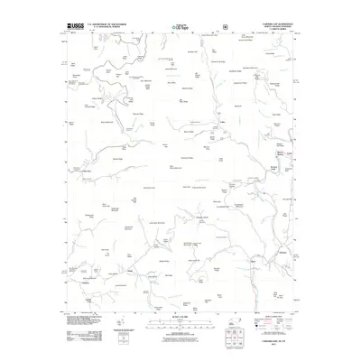
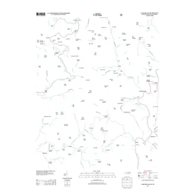
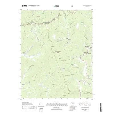
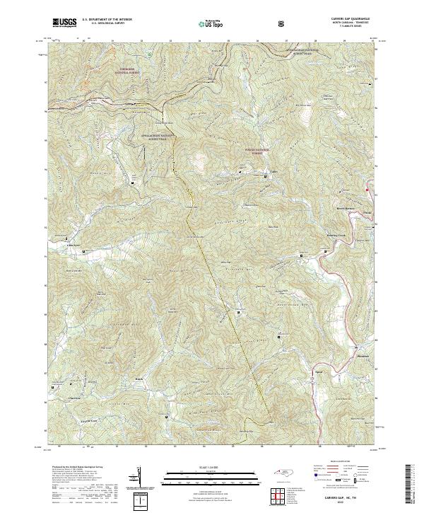
1934 Carvers Gap
Avery County, NC
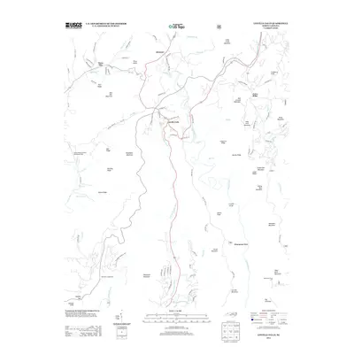
1934 Linville Falls
Avery County, NC

1935 Doe Mountain
Avery County, NC
1955 Carvers Gap
Avery County, NC
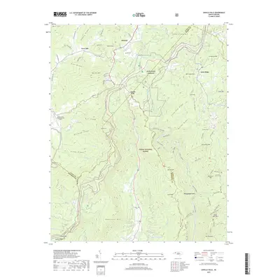
1956 Linville Falls
Avery County, NC
1960 Carvers Gap
Avery County, NC
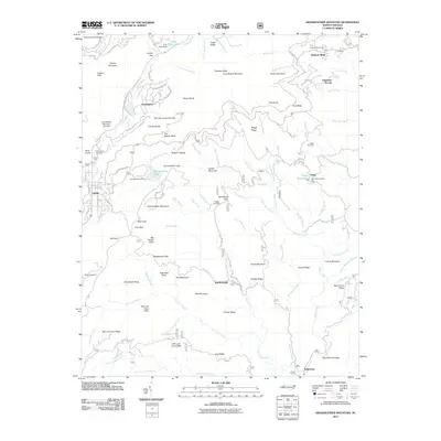
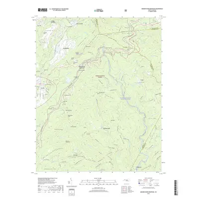
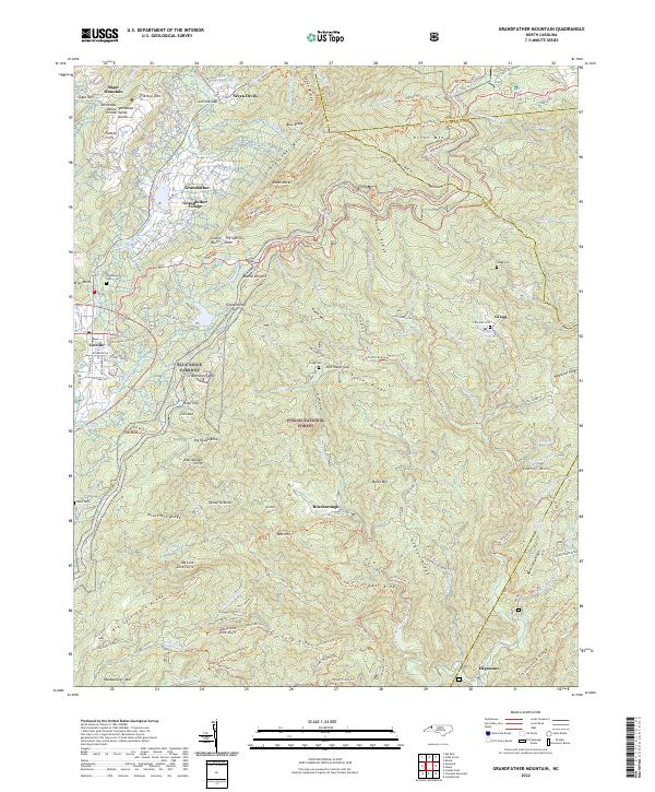
1960 Grandfather Mountain
Avery County, NC
1994 Carvers Gap
Avery County, NC
1994 Grandfather Mountain
Avery County, NC
1994 Linville Falls
Avery County, NC
2011 Carvers Gap
Avery County, NC
2011 Grandfather Mountain
Avery County, NC
2011 Linville Falls
Avery County, NC
2013 Carvers Gap
Avery County, NC
2013 Grandfather Mountain
Avery County, NC
2013 Linville Falls
Avery County, NC
2016 Carvers Gap
Avery County, NC
2016 Grandfather Mountain
Avery County, NC
2016 Linville Falls
Avery County, NC
2019 Carvers Gap
Avery County, NC
2019 Grandfather Mountain
Avery County, NC
2019 Linville Falls
Avery County, NC
2022 Carvers Gap
Avery County, NC
2022 Grandfather Mountain
Avery County, NC
2022 Linville Falls
Avery County, NC