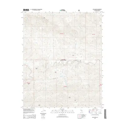
2015 Map of Lion Canyon
USGS Topo · Published 2015About this map
Los Padres National Forest contains the complex drainage systems of the Transverse Ranges, where the high-elevation Pine Mtn and Thorn Point overlook a landscape carved by Piedra Blanca Cr and Sespe Cr. The central focus of this 2015 survey is the Rose Valley corridor, a distinct geographic basin characterized by Lower Rose Lake, Upper Rose Lake, and the vertical drop of Rose Valley Falls.
Find a feature on this map
31 named features on this map. Tap any name to fly to it.
Don’t see what you’re looking for? This feature index may not catch every label — zoom into the map to look around manually.
Map Details
Editions of this 2015 Lion Canyon Map
This is the sole edition of this map. No revisions or reprints were ever made.
Other maps of this area

1903 · Santa Paula
USGS Topo · 1:62,500

1903 · Mt. Pinos
USGS Topo · 1:125,000

1904 · Ventura
USGS Topo · 1:62,500

1941 · Ventura
USGS Topo · 1:62,500

1942 · Santa Paula
USGS Topo · 1:62,500

1942 · Wheeler Springs
USGS Topo · 1:24,000

1943 · Topatopa Mountains
USGS Topo · 1:24,000

1943 · San Guillermo
USGS Topo · 1:24,000

1943 · Lockwood Valley
USGS Topo · 1:24,000

1943 · Lion Canyon
USGS Topo · 1:24,000