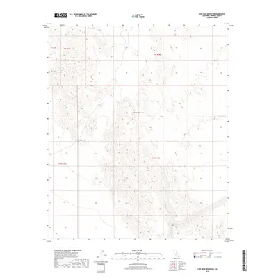
2018 Map of Lion Head Mountain
USGS Topo · Published 2018About this map
Chocolate Mountains define the stark landscape of this Imperial County desert terrain, where dramatic elevation changes are recorded through the high-resolution data of the Lion Head Mtn area. The interior of this quadrangle highlights the complex topography of the range, including the strategic crossing at Salvation Pass in the southeastern quadrant. This 2018 survey reveals a landscape primarily shaped by natural features and limited human intervention, typical of this protected California wilderness. A critical point of interest for researchers of arid environments is Salvation Spring, a rare water source located near the southern border of the sheet. The map provides a precise layout of the public land survey system, including portions of t9s r15e and t10s r16e, which is essential for identifying specific sections of this remote desert territory.
Find a feature on this map
8 named features on this map. Tap any name to fly to it.
Don’t see what you’re looking for? This feature index may not catch every label — zoom into the map to look around manually.
Map Details
Editions of this 2018 Lion Head Mountain Map
This is the sole edition of this map. No revisions or reprints were ever made.
Other maps of this area

1940 · Iris
USGS Topo · 1:62,500

1940 · Iris Pass
USGS Topo · 1:62,500

1945 · Iris Pass
USGS Topo · 1:62,500

1945 · Iris
USGS Topo · 1:62,500

1953 · Chuckwalla Spring
USGS Topo · 1:62,500

1953 · Acolita
USGS Topo · 1:62,500

1954 · Salton Sea
USGS Topo · 1:250,000

1955 · Tortuga
USGS Topo · 1:24,000

1955 · Salton Sea
USGS Topo · 1:250,000
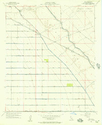
1956 · Iris
USGS Topo · 1:24,000