Loading...
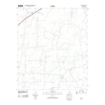
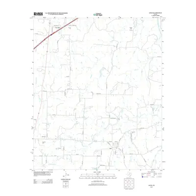
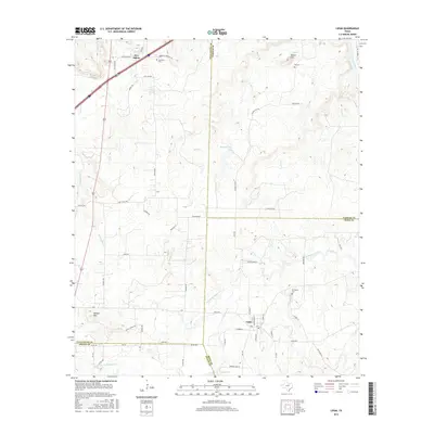
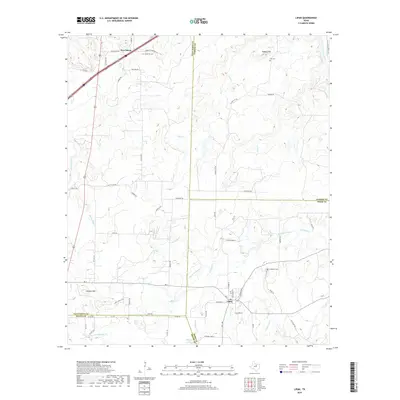
Loading map...1984 Map of Lipan
USGS Topo · Published 1984About this map
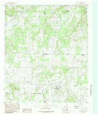
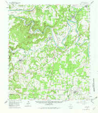
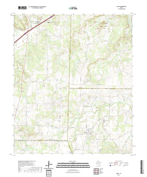
Lipan serves as the primary hub in this Texas landscape, situated at the convergence of Weaver Branch and Crockery Branch. The terrain is defined by its complex drainage systems and notable elevations, including the prominent Double Mountain to the west and Potato Hill in the north. This 1984 provisional survey documents a specific crossroads in North Central Texas where the boundaries of Hood, Erath, Parker, and Palo Pinto counties meet.
Find a feature on this map
18 named features on this map. Tap any name to fly to it.
Don’t see what you’re looking for? This feature index may not catch every label — zoom into the map to look around manually.
Map Details
Date Portrayed1984
Date Published1984
PublisherU.S. Geological Survey
Map TypeTopographic
Scale1:24,000
Physical Dimensions23 x 27 inches
Editions of this 1984 Lipan Map
This is the sole edition of this map. No revisions or reprints were ever made.
Historical Maps of Lipan Through Time
7 maps found
Featured Locations
Source Details
SourceU.S. Geological Survey
CopyrightPublic Domain