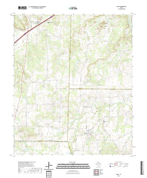
2022 Map of Lipan
USGS Topo · Published 2022About this map
The town of Lipan serves as the focal point of this North Texas survey, situated where the borders of Hood, Erath, and Palo Pinto counties converge. The landscape is defined by the winding course of Kickapoo Creek and its many tributaries, such as Dry Br Kickapoo Cr and Crockery Cr, which carve through the undulating terrain. To the north, the small settlement of New Salem remains a distinct marker of local geography.
Find a feature on this map
66 named features on this map. Tap any name to fly to it.
Don’t see what you’re looking for? This feature index may not catch every label — zoom into the map to look around manually.
Map Details
Editions of this 2022 Lipan Map
This is the sole edition of this map. No revisions or reprints were ever made.
Other maps of this area

1889 · Granbury
USGS Topo · 1:125,000

1890 · Stephenville
USGS Topo · 1:125,000

1891 · Weatherford
USGS Topo · 1:125,000

1891 · Palo Pinto
USGS Topo · 1:125,000

1893 · Weatherford
USGS Topo · 1:125,000

1918 · Palo Pinto
USGS Topo · 1:125,000

1920 · Stephenville
USGS Topo · 1:125,000

1925 · Palo Pinto 4-b
USGS Topo · 1:48,000

1931 · Dennis
USGS Topo · 1:62,500

1931 · Santo
USGS Topo · 1:62,500