Loading...
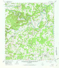
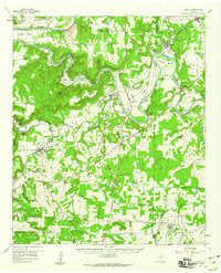
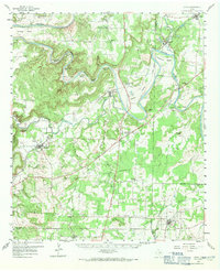
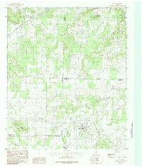
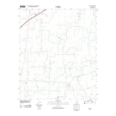
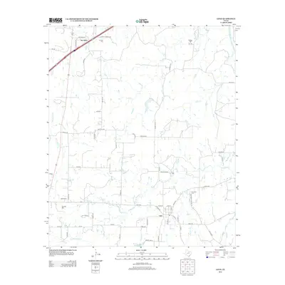
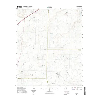
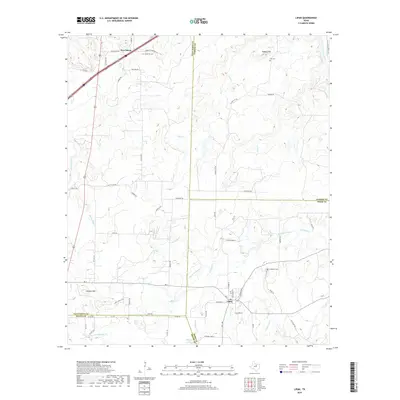
Loading map...1959 Map of Lipan
USGS Topo · Published 1982About this map
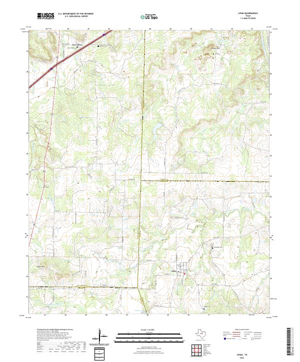
The Brazos River carves a winding path through this region of North Central Texas, defining a landscape of dramatic oxbows and bends. Along its course, prominent landmarks like John Hittson Bend, Chestnut Bend, and Polk Stalk Bend dominate the river valley. The corridor is shaped by the Texas and Pacific railroad, which parallels the American Legion Memorial Highway through settlements such as Santo and Bennett.
Find a feature on this map
65 named features on this map. Tap any name to fly to it.
Don’t see what you’re looking for? This feature index may not catch every label — zoom into the map to look around manually.
Map Details
Date Portrayed1959
Date Published1982
PublisherU.S. Geological Survey
Map TypeTopographic
Scale1:62,500
Physical Dimensions18 x 21 inches
Editions of this 1959 Lipan Map
Historical Maps of Lipan Through Time
7 maps found
Featured Locations
Source Details
SourceU.S. Geological Survey
CopyrightPublic Domain