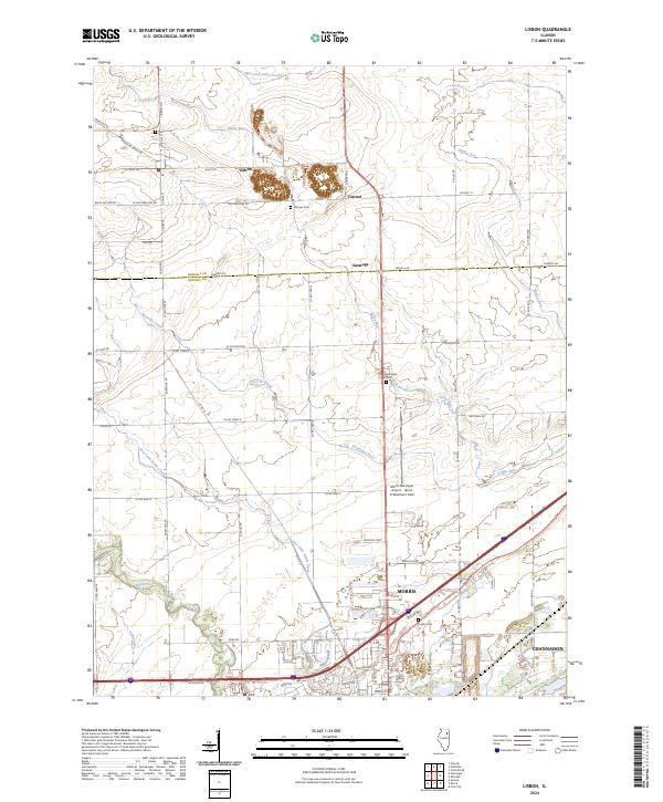
2024 Map of Lisbon
USGS Topo · Published 2024About this map
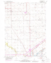
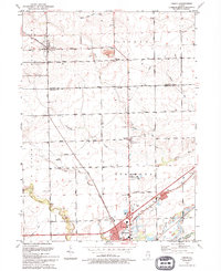
Lisbon and the surrounding agricultural lands of Kendall Co and Grundy Co are depicted here, showing the transition from the prairie uplands toward the more developed outskirts of Morris. The landscape is defined by the subtle drainage patterns of West Aux Sable Creek, Valley Run, and Saratoga Creek as they flow southward. This map provides a modern look at the rural road network including Joliet Rd and Whitewillow Rd, which trace long-established section lines through the heart of the Illinois corn belt.
Find a feature on this map
40 named features on this map. Tap any name to fly to it.
Don’t see what you’re looking for? This feature index may not catch every label — zoom into the map to look around manually.
Map Details
Editions of this 2024 Lisbon Map
This is the sole edition of this map. No revisions or reprints were ever made.