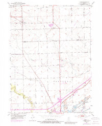
1953 Map of Lisbon
USGS Topo · Published 1989About this map
The agrarian landscape of Lisbon and Saratoga is documented here as it appeared in the mid-20th century, with significant updates captured during the early 1970s. The southern portion of the map reveals a distinct transition from traditional farming to industrial extraction, where a prominent Strip Mine operation and a Quarry sit near the banks of the Illinois and Michigan Canal. This historic waterway is paralleled by the Chicago Rock Island and Pacific railroad, highlighting the critical transportation corridor that shaped local commerce. Small rural communities and schoolhouses like White Willow Sch and Conklin Sch are scattered throughout the townships of Big Grove and Nettle Creek. The map also traces several watercourses, including Saratoga Creek and the East Fork Nettle Creek, which define the drainage patterns of this fertile prairie region.
Find a feature on this map
31 named features on this map. Tap any name to fly to it.
Don’t see what you’re looking for? This feature index may not catch every label — zoom into the map to look around manually.
Map Details
Editions of this 1953 Lisbon Map
3 editions found

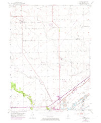
Other maps of this area

1892 · Morris
USGS Topo · 1:62,500

1892 · Marseilles
USGS Topo · 1:62,500

1916 · Marseilles
USGS Topo · 1:62,500

1918 · Morris
USGS Topo · 1:62,500

1925 · Yorkville
USGS Topo · 1:62,500

1940 · Marseilles
USGS Topo · 1:62,500

1948 · Sandwich
USGS Topo · 1:62,500

1950 · Sandwich
USGS Topo · 1:62,500

1953 · Morris
USGS Topo · 1:24,000

1953 · Plattville
USGS Topo · 1:24,000