
1918 Map of Morris
USGS Topo · Published 1918About this map
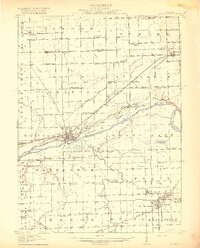
The Illinois River serves as the central artery of this 1918 Grundy County landscape, where the Michigan and Illinois Canal runs parallel to the river's north bank. At the heart of the region, Morris stands as a significant rail and water hub, while to the southeast, the industrial footprint of the coal fields is evident in the cluster of settlements including Coal City, Carbon Hill, Eileen, and Diamond. The map documents a dense network of early 20th-century rural infrastructure, including dozens of local schoolhouses such as Jugtown School, Red Brick School, and White Willow School. Significant water bodies like Goose Lake and the convergence of the Kankakee River and Des Plaines River define the eastern terrain. This survey provides genealogists and researchers a clear look at the area before modern land-use changes, capturing the original drainage patterns of the Claypool Ditch and the historic Ridge Road path.
Find a feature on this map
99 named features on this map. Tap any name to fly to it.
Don’t see what you’re looking for? This feature index may not catch every label — zoom into the map to look around manually.
Map Details
Editions of this 1918 Morris Map
3 editions found
Other maps of this area

1892 · Morris
USGS Topo · 1:62,500

1892 · Marseilles
USGS Topo · 1:62,500

1892 · Joliet
USGS Topo · 1:62,500

1892 · Wilmington
USGS Topo · 1:62,500

1916 · Marseilles
USGS Topo · 1:62,500

1918 · Wilmington
USGS Topo · 1:62,500

1923 · Joliet
USGS Topo · 1:62,500

1923 · Herscher
USGS Topo · 1:62,500

1925 · Yorkville
USGS Topo · 1:62,500

1925 · Herscher
USGS Topo · 1:62,500