
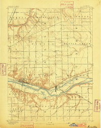
1892 Map of Marseilles
USGS Topo · Published 1892About this map
Industrial and maritime development along the Illinois River valley defines this late-nineteenth-century survey of LaSalle County. The landscape is dominated by the parallel transport corridors of the Illinois and Michigan Canal and the Chicago Rock Island and Pacific Railroad, which fueled the growth of Marseilles and Seneca. To the north, the terrain transitions into the upland prairies of Mission Ridge, where smaller Norwegian-influenced agricultural settlements like Norway and Stavanger are established. The map meticulously documents the confluence of the Fox River and the complex drainage networks of Mission Creek and Nettle Creek. This era represents a peak for the canal as a vital link between the Great Lakes and the Mississippi watershed, shown here alongside the emerging dominance of regional rail lines like the Kankakee and Seneca Railroad.
Find a feature on this map
34 named features on this map. Tap any name to fly to it.
Don’t see what you’re looking for? This feature index may not catch every label — zoom into the map to look around manually.
Map Details
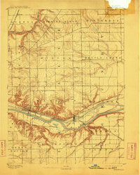
Editions of this 1892 Marseilles Map
3 editions found
Other maps of this area

1892 · Morris
USGS Topo · 1:62,500

1892 · Ottawa
USGS Topo · 1:62,500

1915 · Ottawa
USGS Topo · 1:62,500

1916 · Marseilles
USGS Topo · 1:62,500

1918 · Morris
USGS Topo · 1:62,500

1925 · Yorkville
USGS Topo · 1:62,500

1925 · Streator
USGS Topo · 1:62,500

1927 · Streator
USGS Topo · 1:62,500

1940 · Marseilles
USGS Topo · 1:62,500

1946 · Ottawa
USGS Topo · 1:62,500