
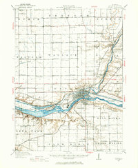
1946 Map of Ottawa
USGS Topo · Published 1963About this map
Starved Rock State Park and the riverfront industries of Ottawa dominate this 1946 revision. The landscape is defined by the confluence of the Fox River and the Illinois River, where the historic Illinois and Michigan Canal runs parallel to the main waterway. The map documents an intricate network of early 20th-century rural education, featuring dozens of numbered and family-named schoolhouses such as Hickory College, Ophir Center School, and Peddicord School.
Find a feature on this map
112 named features on this map. Tap any name to fly to it.
Don’t see what you’re looking for? This feature index may not catch every label — zoom into the map to look around manually.
Map Details
Editions of this 1946 Ottawa Map
2 editions found
Other maps of this area

1892 · Marseilles
USGS Topo · 1:62,500

1892 · Ottawa
USGS Topo · 1:62,500

1893 · Lasalle
USGS Topo · 1:62,500

1911 · La Salle
USGS Topo · 1:62,500

1913 · La Salle
USGS Topo · 1:62,500

1915 · Ottawa
USGS Topo · 1:62,500

1916 · Marseilles
USGS Topo · 1:62,500

1925 · Streator
USGS Topo · 1:62,500

1927 · Streator
USGS Topo · 1:62,500

1934 · Wenona
USGS Topo · 1:48,000