
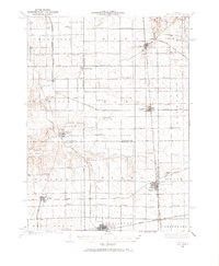
1934 Map of Wenona
USGS Topo · Published 1934About this map
The Third Principal Meridian bisects this prairie landscape, providing a foundational grid for the dense network of rural schoolhouses and rail lines that defined North Central Illinois during the mid-1930s. The settlement of Wenona serves as a primary hub, situated near the Wenona Cem at the junction of the Illinois Central and the Chicago and Alton railroads. The map reveals an agrarian society organized around local education, featuring uniquely named institutions such as the Black College Sch, British Lane Sch, and John Swaney Sch.
Find a feature on this map
62 named features on this map. Tap any name to fly to it.
Don’t see what you’re looking for? This feature index may not catch every label — zoom into the map to look around manually.
Map Details
Editions of this 1934 Wenona Map
2 editions found
Other maps of this area

1892 · Ottawa
USGS Topo · 1:62,500

1893 · Lacon
USGS Topo · 1:62,500

1893 · Hennepin
USGS Topo · 1:62,500

1893 · Metamora
USGS Topo · 1:62,500

1893 · Lasalle
USGS Topo · 1:62,500

1909 · Hennepin
USGS Topo · 1:62,500

1911 · La Salle
USGS Topo · 1:62,500

1911 · Hennepin
USGS Topo · 1:62,500

1913 · La Salle
USGS Topo · 1:62,500

1915 · Ottawa
USGS Topo · 1:62,500