
1916 Map of Marseilles
USGS Topo · Published 1916About this map
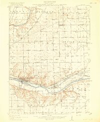
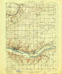
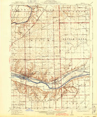
Marseilles and Seneca anchor this 1916 survey of the Illinois river valley, a landscape defined by its overlapping transportation corridors and rural school districts. The Illinois River and the adjacent Michigan Canal dominate the lower half of the map, flanked by several rail lines including the Chicago Ottawa and Peoria Electric RR. This industrial and transit core contrasts with the upland prairie and agricultural plateaus to the north, which are divided into dozens of school districts such as Arntson School, Rosedale School, and Forbes School.
Find a feature on this map
92 named features on this map. Tap any name to fly to it.
Don’t see what you’re looking for? This feature index may not catch every label — zoom into the map to look around manually.
Map Details
Editions of this 1916 Marseilles Map
4 editions found
Other maps of this area

1892 · Morris
USGS Topo · 1:62,500

1892 · Marseilles
USGS Topo · 1:62,500

1892 · Ottawa
USGS Topo · 1:62,500

1915 · Ottawa
USGS Topo · 1:62,500

1918 · Morris
USGS Topo · 1:62,500

1925 · Yorkville
USGS Topo · 1:62,500

1925 · Streator
USGS Topo · 1:62,500

1927 · Streator
USGS Topo · 1:62,500

1940 · Marseilles
USGS Topo · 1:62,500

1946 · Ottawa
USGS Topo · 1:62,500