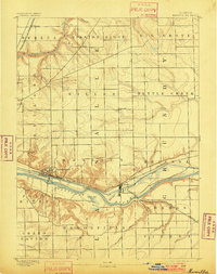
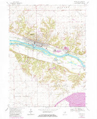
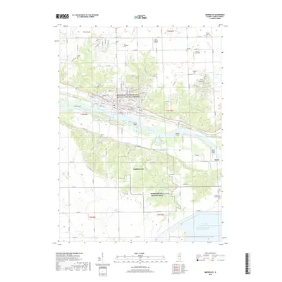
1892 Map of Marseilles
USGS Topo · Published 1901About this map
The Illinois River valley serves as the industrial and transport spine of this 1890 survey, where the town of Marseilles sits at a critical junction of water and rail. The Illinois and Michigan Canal parallels the river’s northern bank, a legacy of earlier 19th-century trade that, by this era, shared the corridor with the Chicago Rock Island and Pacific Railroad. To the east, Seneca marks a cluster of activity where the Kankakee and Seneca Railroad meets the main line near the river bend.
Find a feature on this map
37 named features on this map. Tap any name to fly to it.
Don’t see what you’re looking for? This feature index may not catch every label — zoom into the map to look around manually.
Map Details
Editions of this 1892 Marseilles Map
3 editions found

Historical Maps of Marseilles Through Time
10 maps found
1892 Marseilles
LaSalle County, IL
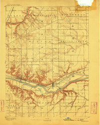
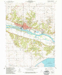
1916 Marseilles
LaSalle County, IL
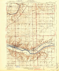
1940 Marseilles
LaSalle County, IL
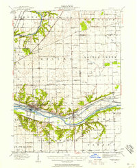
1970 Marseilles
LaSalle County, IL
1994 Marseilles
LaSalle County, IL
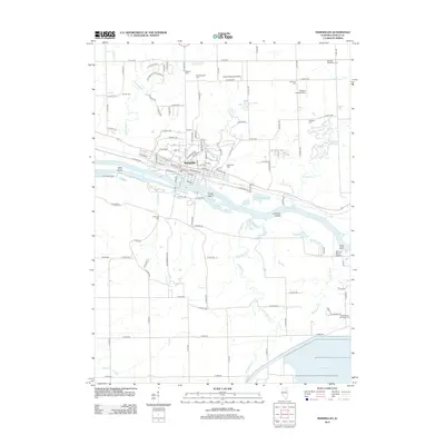
2012 Marseilles
LaSalle County, IL
2015 Marseilles
LaSalle County, IL
2018 Marseilles
LaSalle County, IL
2021 Marseilles
LaSalle County, IL
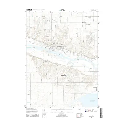
2024 Marseilles
LaSalle County, IL