
1953 Map of Lisbon
USGS Topo · Published 1955About this map
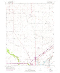
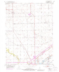
Lisbon and the surrounding prairie of Kendall and Grundy Counties are shown here as they appeared in the early 1950s. The landscape is defined by a dense network of local landmarks, particularly country schools such as Porter Sch, White Willow Sch, and Conklin Sch that once served the rural farming community. The transition from agricultural land to industrial activity is evident in the southern sections, where Strip Mine operations begin to appear near the Chicago Rock Island and Pacific railroad line.
Find a feature on this map
31 named features on this map. Tap any name to fly to it.
Don’t see what you’re looking for? This feature index may not catch every label — zoom into the map to look around manually.
Map Details
Editions of this 1953 Lisbon Map
3 editions found
Other maps of this area

1892 · Morris
USGS Topo · 1:62,500

1892 · Marseilles
USGS Topo · 1:62,500

1916 · Marseilles
USGS Topo · 1:62,500

1918 · Morris
USGS Topo · 1:62,500

1925 · Yorkville
USGS Topo · 1:62,500

1940 · Marseilles
USGS Topo · 1:62,500

1948 · Sandwich
USGS Topo · 1:62,500

1950 · Sandwich
USGS Topo · 1:62,500

1953 · Morris
USGS Topo · 1:24,000

1953 · Plattville
USGS Topo · 1:24,000