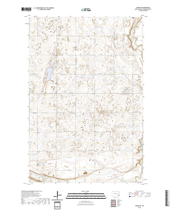
2024 Map of Lisbon NE
USGS Topo · Published 2024About this map
The Sheyenne River defines the southern and northeastern edges of this Ransom County landscape, winding through a region shaped by glacial depressions and contemporary agricultural boundaries. A central point of historical interest is the Saint Paul Lutheran Cem, located along 135th Ave SE, serving as a genealogical landmark for the surrounding rural community. The terrain is a complex arrangement of prairie potholes and wetlands, interspersed with a rigid grid of local routes such as 65th St SE and 138th Ave SE. This survey reflects the persistence of original township and range divisions, including t135n r55w and t134n r55w, across a landscape where water management and field boundaries are the primary human imprints on the land.
Find a feature on this map
22 named features on this map. Tap any name to fly to it.
Don’t see what you’re looking for? This feature index may not catch every label — zoom into the map to look around manually.
Map Details
Editions of this 2024 Lisbon NE Map
This is the sole edition of this map. No revisions or reprints were ever made.
Other maps of this area

1895 · Casselton
USGS Topo · 1:125,000

1897 · Tower
USGS Topo · 1:125,000

1897 · Casselton
USGS Topo · 1:125,000

1907 · Wyndmere
USGS Topo · 1:125,000

1953 · Fargo
USGS Topo · 1:250,000

1956 · Fargo
USGS Topo · 1:250,000

1960 · Lisbon SE
USGS Topo · 1:24,000

1960 · Lisbon NE
USGS Topo · 1:24,000

1960 · Enderlin South
USGS Topo · 1:24,000

1960 · Venlo
USGS Topo · 1:24,000