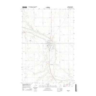
2014 Map of Lisbon
USGS Topo · Published 2014About this map
The Sheyenne River carves a deep valley through this Ransom County landscape, dictating the development of Lisbon, which serves as a regional hub at the junction of ND-32 and ND-27. The town is characterized by a dense grid of residential and commercial streets, including Main St and Broadway St, centered around the river's path. To the north, Oakwood Cem overlooks the valley from higher ground, while the Lisbon Municipal Airport occupies the flat prairie to the west.
Find a feature on this map
41 named features on this map. Tap any name to fly to it.
Don’t see what you’re looking for? This feature index may not catch every label — zoom into the map to look around manually.
Map Details
Editions of this 2014 Lisbon Map
This is the sole edition of this map. No revisions or reprints were ever made.
Other maps of this area

1897 · Tower
USGS Topo · 1:125,000

1953 · Fargo
USGS Topo · 1:250,000

1956 · Fargo
USGS Topo · 1:250,000

1957 · Elliott SE
USGS Topo · 1:24,000

1960 · Lisbon SE
USGS Topo · 1:24,000

1960 · Lisbon NE
USGS Topo · 1:24,000

1960 · Enderlin South
USGS Topo · 1:24,000

1962 · Lisbon
USGS Topo · 1:24,000

1962 · Lisbon SW
USGS Topo · 1:24,000

1962 · Elliott
USGS Topo · 1:24,000