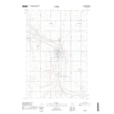
2018 Map of Lisbon
USGS Topo · Published 2018About this map
The Sheyenne River snakes through the heart of Ransom County, carving a distinct valley that defines the local geography. The city of Lisbon sits at this natural crossroads, where a dense grid of streets like Jackson Ave W and Riverside Dr meets the river's edge. This 2018 survey illustrates the modern layout of the community, from the northern reach of the Lisbon Municipal Airport to the southern drainage of Timber Coulee. Outside the residential core, the landscape transitions into the systematic section lines of the North Dakota prairie, dotted with numerous small wetlands and prairie potholes. Local history and genealogy are preserved at sites like Oakwood Cem and Saint Aloysius Catholic Cemetery, which serve as quiet landmarks on the bluffs overlooking the river valley.
Find a feature on this map
38 named features on this map. Tap any name to fly to it.
Don’t see what you’re looking for? This feature index may not catch every label — zoom into the map to look around manually.
Map Details
Editions of this 2018 Lisbon Map
This is the sole edition of this map. No revisions or reprints were ever made.
Other maps of this area

1897 · Tower
USGS Topo · 1:125,000

1953 · Fargo
USGS Topo · 1:250,000

1956 · Fargo
USGS Topo · 1:250,000

1957 · Elliott SE
USGS Topo · 1:24,000

1960 · Lisbon SE
USGS Topo · 1:24,000

1960 · Lisbon NE
USGS Topo · 1:24,000

1960 · Enderlin South
USGS Topo · 1:24,000

1962 · Lisbon
USGS Topo · 1:24,000

1962 · Lisbon SW
USGS Topo · 1:24,000

1962 · Elliott
USGS Topo · 1:24,000