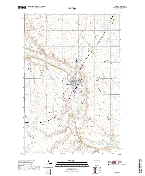
2024 Map of Lisbon
USGS Topo · Published 2024About this map
The Sheyenne River snakes through the heart of this landscape, carving a prominent valley across the plains of Ransom County. The city of Lisbon is situated at this bend in the river, serving as a hub of local government and regional activity. A clear grid of residential streets like 2nd Ave W and 10th Ave W defines the town center, centered on the historic Ransom County Courthouse.
Find a feature on this map
56 named features on this map. Tap any name to fly to it.
Don’t see what you’re looking for? This feature index may not catch every label — zoom into the map to look around manually.
Map Details
Editions of this 2024 Lisbon Map
This is the sole edition of this map. No revisions or reprints were ever made.
Other maps of this area
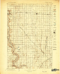
1897 · Tower
USGS Topo · 1:125,000

1953 · Fargo
USGS Topo · 1:250,000

1956 · Fargo
USGS Topo · 1:250,000
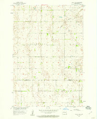
1957 · Elliott SE
USGS Topo · 1:24,000
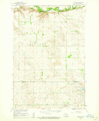
1960 · Lisbon SE
USGS Topo · 1:24,000
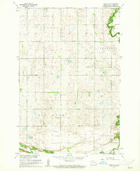
1960 · Lisbon NE
USGS Topo · 1:24,000
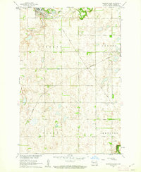
1960 · Enderlin South
USGS Topo · 1:24,000
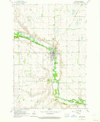
1962 · Lisbon
USGS Topo · 1:24,000
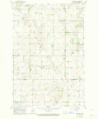
1962 · Lisbon SW
USGS Topo · 1:24,000
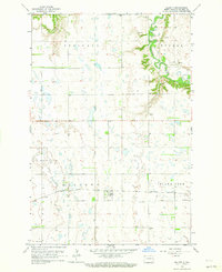
1962 · Elliott
USGS Topo · 1:24,000