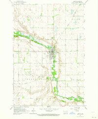
1986 Map of Lisbon
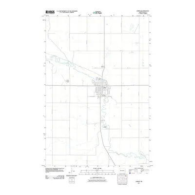
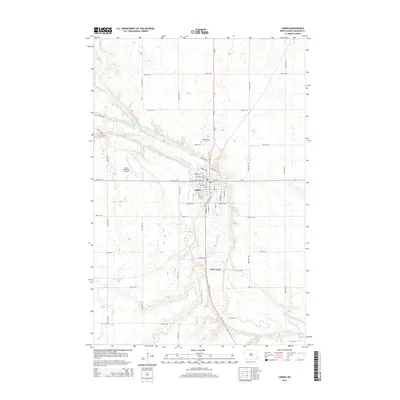
USGS Topo · Published 1988About this map
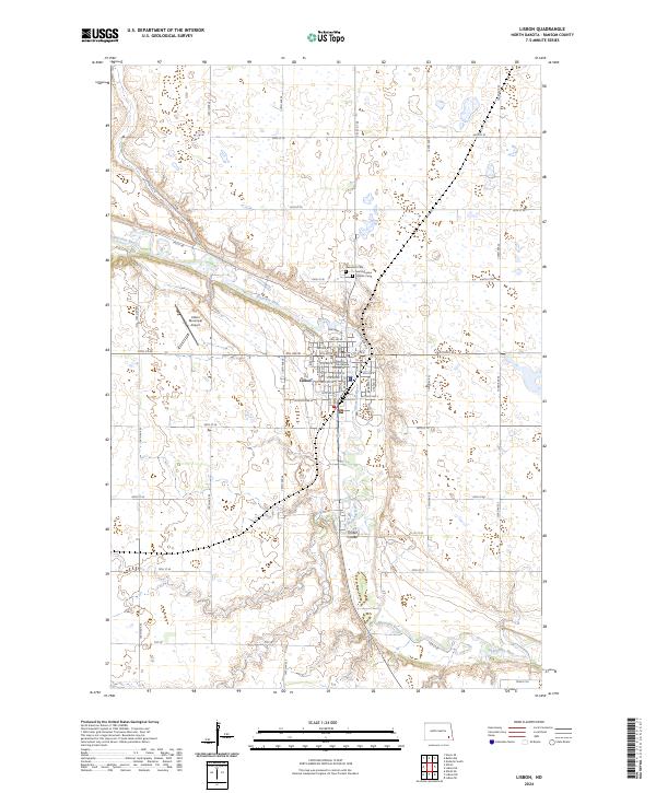
Lisbon serves as a primary hub for the southeastern plains in the late twentieth century, situated along a sharp bend in the Sheyenne River. The landscape is defined by the convergence of agricultural townships and extensive conservation efforts, including the Tewaukon National Wildlife Refuge and the National Grassland. The map reveals a high density of National Waterfowl Production Areas, suggesting a terrain punctuated by prairie potholes and wetlands essential for migratory birds. Significant rail corridors like the Northern Pacific Railroad and Soo Line Railroad link smaller prairie settlements such as Englevale, Milnor, and Wyndmere. Family history researchers can locate specific burial sites like Oakwood Cem and trace the paths of old watercourses including Timber Coulee and Whitestone Creek.
Find a feature on this map
129 named features on this map. Tap any name to fly to it.
Don’t see what you’re looking for? This feature index may not catch every label — zoom into the map to look around manually.
Map Details
Editions of this 1986 Lisbon Map
2 editions found

Historical Maps of Lisbon Through Time
7 maps found