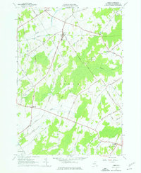
1963 Map of Lisbon
USGS Topo · Published 1976About this map
Lisbon serves as the central hub of this St. Lawrence County landscape, established at the junction of the Lisbon Road and the east-west corridor of Morley Road. The 1963 field check reveals a community anchored by the Lisbon Central Sch and surrounded by a network of rural crossroads such as North Corners and Gregory Corners. A significant shift in local transit is visible in the long rail corridor labeled Abandoned cutting through the northern half of the sheet, reflecting the post-war transition away from rail-dependent agriculture.
Find a feature on this map
59 named features on this map. Tap any name to fly to it.
Don’t see what you’re looking for? This feature index may not catch every label — zoom into the map to look around manually.
Map Details
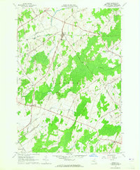
Editions of this 1963 Lisbon Map
2 editions found
Other maps of this area

1904 · Lisbon
USGS Topo · 1:48,000

1904 · Ogdensburg
USGS Topo · 1:62,500

1905 · Waddington
USGS Topo · 1:62,500

1905 · Ogdensburg
USGS Topo · 1:62,500

1906 · Red Mills
USGS Topo · 1:62,500

1910 · Canton
USGS Topo · 1:62,500

1911 · Canton
USGS Topo · 1:62,500

1942 · Waddington
USGS Topo · 1:24,000

1943 · Ogdensburg East
USGS Topo · 1:31,680

1943 · Rensselaer Falls
USGS Topo · 1:31,680