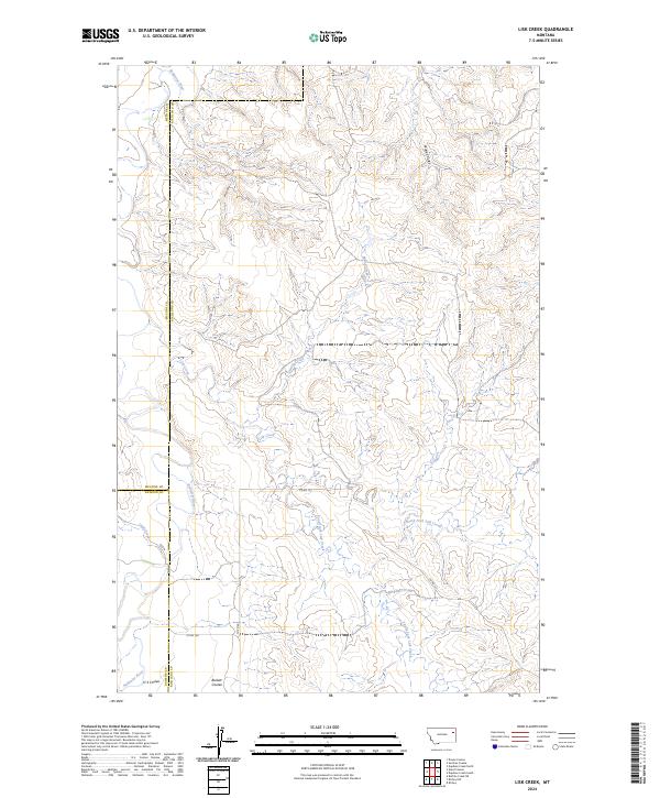
2024 Map of Lisk Creek
USGS Topo · Published 2024About this map
Redwater River defines the western edge of this landscape, where the borders of Richland, McCone, and Dawson counties converge. This 2024 survey documents a deeply dissected prairie environment dominated by an intricate drainage system feeding into the Lisk Creek basin. The map reveals the structural layout of the region's ranching and transit corridors, including Co RD 127 and Co RD 128, which navigate the high ground between numerous coulees. Named topographic features such as Bickett Coulee and H S Coulee indicate a history of local land usage and family-named landmarks. The convergence of the North Fork Lisk Creek and South Fork Lisk Creek illustrates the complex hydrologic pattern that has shaped this part of Eastern Montana.
Find a feature on this map
22 named features on this map. Tap any name to fly to it.
Don’t see what you’re looking for? This feature index may not catch every label — zoom into the map to look around manually.
Map Details
Editions of this 2024 Lisk Creek Map
This is the sole edition of this map. No revisions or reprints were ever made.
Other maps of this area

1954 · Glendive
USGS Topo · 1:250,000

1957 · Glendive
USGS Topo · 1:250,000

1958 · Glendive
USGS Topo · 1:250,000
1983 · Duplisse Creek North
USGS Topo · 1:24,000
1983 · Sullivan Coulee
USGS Topo · 1:24,000
1983 · Duplisse Creek South
USGS Topo · 1:24,000
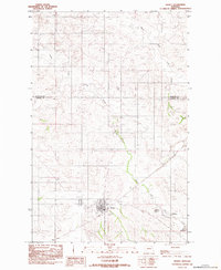
1983 · Richey
USGS Topo · 1:24,000

1983 · Buffalo Creek NE
USGS Topo · 1:24,000
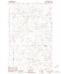
1983 · Kraut Coulee
USGS Topo · 1:24,000

1983 · Richey NW
USGS Topo · 1:24,000