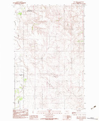
1983 Map of Lisk Creek
USGS Topo · Published 1983About this map
The Redwater River valley serves as the primary geographic corridor through this section of eastern Montana, where the boundaries of McCone and Richland counties meet. This 1983 provisional survey captures a landscape defined by an intricate network of drainage systems, including the namesake Lisk Creek and Spring Creek, which cut through the high plains. The map illustrates the convergence of small tributaries such as Wolf Cr and Little Creek as they feed into the larger river basin. Notable for its administrative detail, the sheet clearly delineates the point where McCone and Dawson counties join, providing a precise record of late 20th-century geopolitical lines in this rural ranching region. The drainage patterns of Milne Coulee and the forks of various creeks reveal the natural erosion of the prairie breaks.
Find a feature on this map
11 named features on this map. Tap any name to fly to it.
Don’t see what you’re looking for? This feature index may not catch every label — zoom into the map to look around manually.
Map Details
Editions of this 1983 Lisk Creek Map
This is the sole edition of this map. No revisions or reprints were ever made.
Other maps of this area

1954 · Glendive
USGS Topo · 1:250,000

1957 · Glendive
USGS Topo · 1:250,000

1958 · Glendive
USGS Topo · 1:250,000
1983 · Duplisse Creek North
USGS Topo · 1:24,000
1983 · Sullivan Coulee
USGS Topo · 1:24,000
1983 · Duplisse Creek South
USGS Topo · 1:24,000
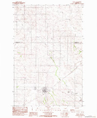
1983 · Richey
USGS Topo · 1:24,000

1983 · Buffalo Creek NE
USGS Topo · 1:24,000
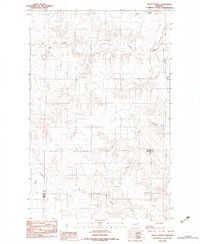
1983 · Kraut Coulee
USGS Topo · 1:24,000

1983 · Richey NW
USGS Topo · 1:24,000