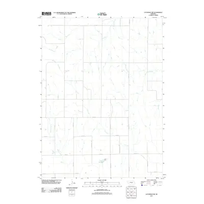
2011 Map of Litchfield SW
USGS Topo · Published 2011About this map
Oak Creek and its southern tributaries define the topography of this rural landscape in Buffalo County. The map details a strictly organized agricultural grid, where section-line roads such as Sartoria Rd and Riverdale Rd intersect across the plains. A central geographic feature is the Unick Reservoir, held by the Unick Dam, which serves as a vital water resource for the surrounding farmland.
Find a feature on this map
20 named features on this map. Tap any name to fly to it.
Don’t see what you’re looking for? This feature index may not catch every label — zoom into the map to look around manually.
Map Details
Editions of this 2011 Litchfield SW Map
This is the sole edition of this map. No revisions or reprints were ever made.
Other maps of this area

1896 · Kearney
USGS Topo · 1:125,000

1951 · Litchfield SW
USGS Topo · 1:24,000

1951 · Litchfield NE
USGS Topo · 1:24,000

1951 · Hazard
USGS Topo · 1:24,000

1951 · Mason City
USGS Topo · 1:24,000

1951 · Mason City SE
USGS Topo · 1:24,000

1951 · Litchfield
USGS Topo · 1:24,000

1955 · Broken Bow
USGS Topo · 1:250,000

1955 · Grand Island
USGS Topo · 1:250,000

1956 · Broken Bow
USGS Topo · 1:250,000