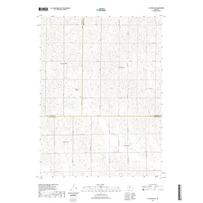
2017 Map of Litchfield SW
USGS Topo · Published 2017About this map
Pleasant Valley sits at the heart of this rural landscape where the borders of Buffalo, Custer, and Sherman Counties meet. The terrain is defined by a dense network of intermittent drainages including Dutch Cr, Oak Cr, and Swenson Cr, which carve through the plains. The 2017 survey reflects a highly organized section-line road system, with family-named or descriptive routes such as Sartoria Rd, Eagle Rd, and Pleasant Valley Rd providing access to the remote agricultural tracts. A notable water management feature, Unick Reservoir, appears in the southern portion of the quadrangle. This map provides a clear record of the modern high-plains topography, showing how land division and water resources like Dry Cr and Spring Br continue to shape the regional settlement pattern decades after initial homesteading.
Find a feature on this map
40 named features on this map. Tap any name to fly to it.
Don’t see what you’re looking for? This feature index may not catch every label — zoom into the map to look around manually.
Map Details
Editions of this 2017 Litchfield SW Map
This is the sole edition of this map. No revisions or reprints were ever made.
Other maps of this area

1896 · Kearney
USGS Topo · 1:125,000

1951 · Litchfield SW
USGS Topo · 1:24,000

1951 · Litchfield NE
USGS Topo · 1:24,000

1951 · Hazard
USGS Topo · 1:24,000

1951 · Mason City
USGS Topo · 1:24,000

1951 · Mason City SE
USGS Topo · 1:24,000

1951 · Litchfield
USGS Topo · 1:24,000

1955 · Broken Bow
USGS Topo · 1:250,000

1955 · Grand Island
USGS Topo · 1:250,000

1956 · Broken Bow
USGS Topo · 1:250,000