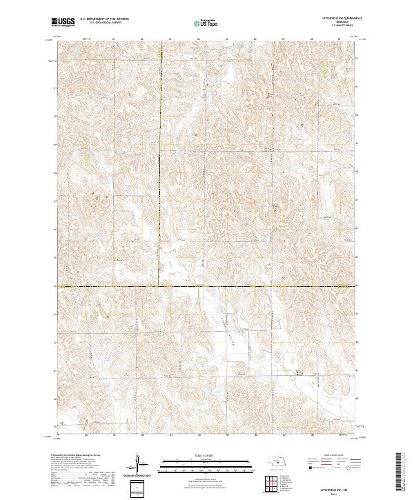
2021 Map of Litchfield SW
USGS Topo · Published 2021About this map
Pleasant Valley and the surrounding loess hills define this section of central Nebraska where the boundaries of Sherman, Custer, and Buffalo counties converge. This landscape is characterized by an intricate drainage system feeding into the Loup River watershed, marked by intermittent streams like Dutch Cr, Oak Cr, and Swenson Cr. The agrarian layout is strictly tied to the Public Land Survey System, with a dense network of section-line roads such as 385th Rd and Sartoria Rd providing access to the upland pastures and valley bottoms.
Find a feature on this map
41 named features on this map. Tap any name to fly to it.
Don’t see what you’re looking for? This feature index may not catch every label — zoom into the map to look around manually.
Map Details
Editions of this 2021 Litchfield SW Map
This is the sole edition of this map. No revisions or reprints were ever made.
Other maps of this area

1896 · Kearney
USGS Topo · 1:125,000

1951 · Litchfield SW
USGS Topo · 1:24,000

1951 · Litchfield NE
USGS Topo · 1:24,000

1951 · Hazard
USGS Topo · 1:24,000

1951 · Mason City
USGS Topo · 1:24,000

1951 · Mason City SE
USGS Topo · 1:24,000

1951 · Litchfield
USGS Topo · 1:24,000

1955 · Broken Bow
USGS Topo · 1:250,000

1955 · Grand Island
USGS Topo · 1:250,000

1956 · Broken Bow
USGS Topo · 1:250,000