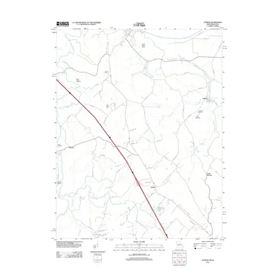
2012 Map of Lithium
USGS Topo · Published 2012About this map
Lithium and the surrounding Perry County landscape are defined by a complex hydraulic network of creeks, springs, and karst features. The settlement of Lithium itself is situated near Lithium Spring and the Falls Branch, reflecting the historical importance of local water sources. Further south, the community of Brewer sits along a prominent transport corridor, while Saline Junction and Giboney represent smaller clusters of activity in this rural region.
Find a feature on this map
71 named features on this map. Tap any name to fly to it.
Don’t see what you’re looking for? This feature index may not catch every label — zoom into the map to look around manually.
Map Details
Editions of this 2012 Lithium Map
This is the sole edition of this map. No revisions or reprints were ever made.
Other maps of this area

1907 · Weingarten
USGS Topo · 1:62,500

1909 · Weingarten
USGS Topo · 1:62,500

1910 · Higdon
USGS Topo · 1:62,500

1915 · Chester
USGS Topo · 1:62,500

1923 · Perryville
USGS Topo · 1:62,500

1924 · Perryville
USGS Topo · 1:62,500

1947 · Chester
USGS Topo · 1:62,500

1949 · Paducah
USGS Topo · 1:250,000

1949 · Rolla
USGS Topo · 1:250,000

1950 · Paducah
USGS Topo · 1:250,000